
Road trips are a cherished piece of American culture, but some people like to take their wheels off the pavement and see what the true back roads have to offer.
The following trips in the Northern Rockies– in the U.S., Idaho, Montana, and Wyoming– will take you to wonders most people will only ever see in pictures if they ever see them at all.
Some of these are accessible to most passenger vehicles if you drive with care, but for others, you’ll need high clearance and maybe four-wheel drive as well.
Continental Divide Road, Idaho
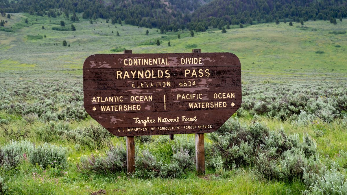
Image Credit: melissamn/Shutterstock.
On this scenic route, you’ll travel through montane forests and cross the Continental Divide as you stay mostly in Idaho’s Targhee National Forest, and then it continues on into Beaverhead National Forest in Montana. One of the highlights is Henry’s Lake Overlook, which on clear days reveals the iconic Teton Range in Wyoming. High clearance recommended.
Owyhee Uplands Backcountry Byway, Idaho
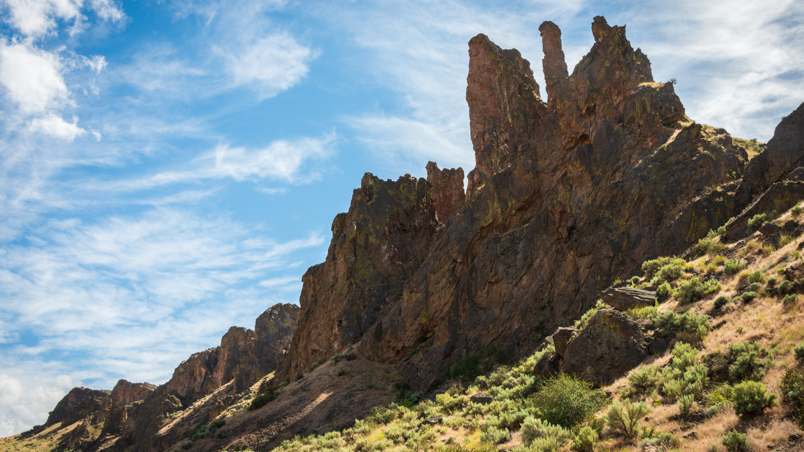
Image Credit: Zack Frank/Shutterstock.
Located in remote southeastern Idaho, this byway is a 103-mile journey that’s mostly in Idaho but which crosses over into Oregon. Sagebrush expanses and river canyons with sheer red walls are the primary geographical features in this high desert wilderness. Okay for most passenger vehicles.
Teton Canyon, Montana
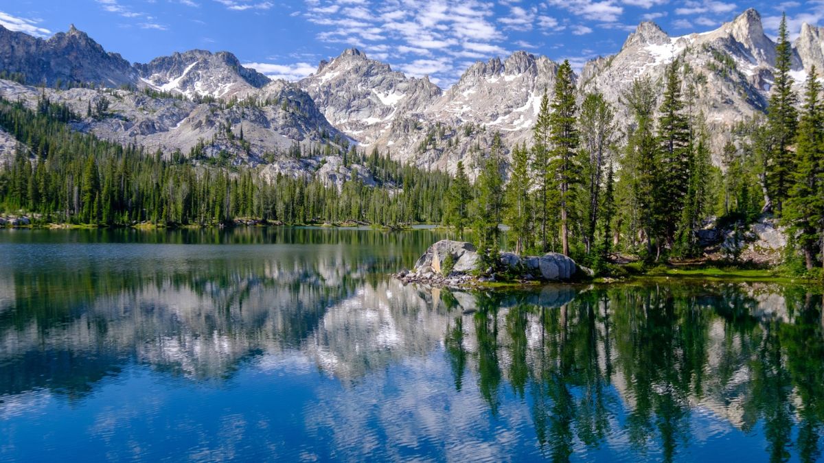
Image Credit: Tobin Akehurst/Shutterstock.
A few miles north of Choteau, a signed road takes off west towards the mountains. After about 10 miles, the pavement ends, and you get to choose between exploring the south fork of the Teton River or the North Fork (recommendation: do both). These take you into the spectacular Sawtooth Range, where sheer limestone reefs and jagged peaks dominate. Okay for most passenger vehicles.
Missouri Breaks National Backcountry Byway, Montana
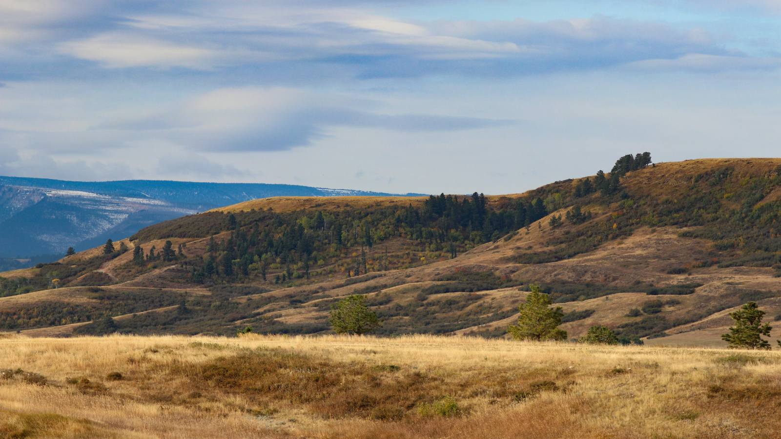
Image Credit: Wolfpack Photography/Shutterstock.
This byway takes you through rugged badlands around a wild stretch of the Missouri River that fascinated Lewis and Clark on their famous expedition. It runs for about 80 miles east from Winifred. Some sections are gravel roads, but others are unimproved dirt roads. 4-wheel drive recommended.
Red Rock Lakes National Wildlife Refuge, Montana
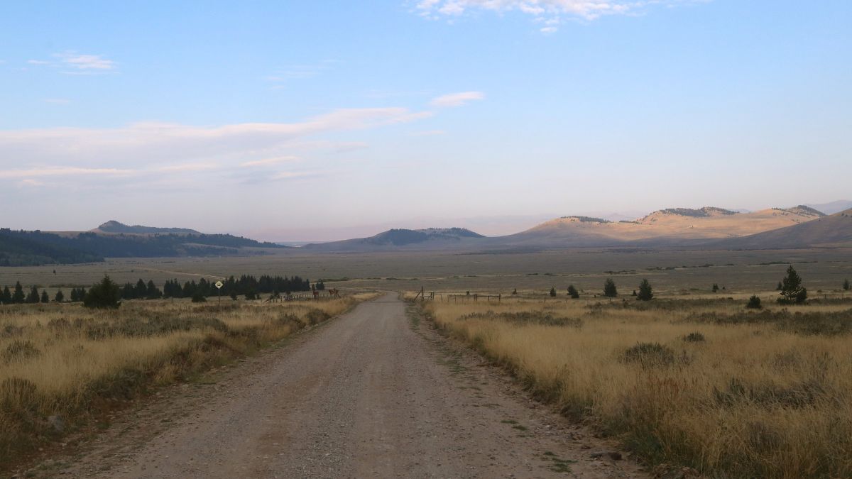
Image Credit: vagabond54/Shutterstock.
Although this trip starts from Henry’s Lake in Idaho, it soon enters Montana, and the drive gets prettier and prettier as you get closer to the namesake lakes with the Centennial Mountains rising in the background and running along the Continental Divide. You can go back the way you came or continue on to a junction with Interstate 15, just north of the Montana state line. Okay for most passenger vehicles.
Cooke City, Montana
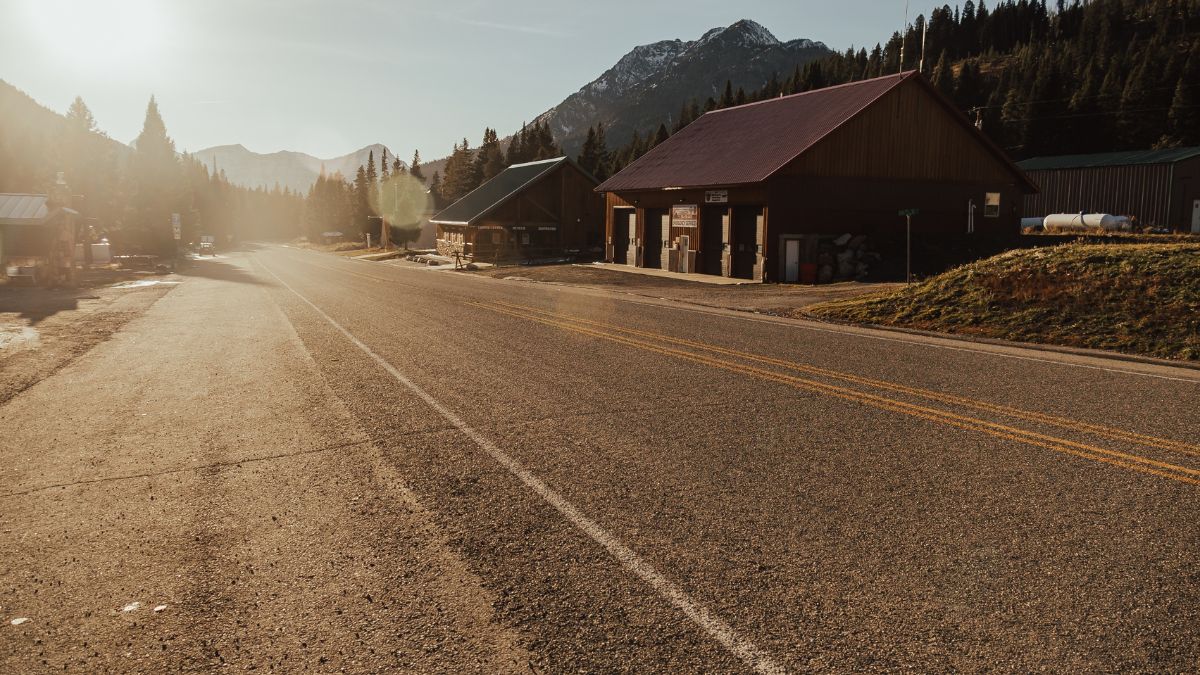
Image Credit: LXCLUSIVES PHOTOGRAPHY/Shutterstock.
Cooke City is a scenic little town a few miles from Yellowstone National Park’s Northeast Entrance. Paved roads get you there, but just north of town is a network of Jeep roads that take you to old mining ruins and high mountain passes. Snow sometimes keeps those passes blocked well into July. 4-wheel drive recommended.
Gros Ventre Road, Wyoming
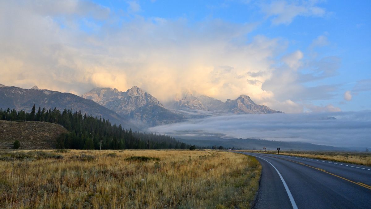
Image Credit: J Guidi/Shutterstock.
From the vicinity of the tiny community of Kelly in Grand Teton National Park, the Gros Ventre Road (pronounced GROW-VONT) leads east into an area called the Mount Leidy Highlands. The pavement ends around Slide Lake, which was created by a massive landslide that dammed the Gros Ventre River. From there, you can go on for miles and miles, but a nice turnaround is Upper Slide Lake, which is about another 10 miles in after you’ve driven past and through the amazing Red Hills and Gray Hills. The road is passable to most passenger vehicles to Upper Slide Lake, but if you continue on or explore spurs, you should have high clearance and 4-wheel drive. High clearance recommended.
Granite Creek, Wyoming
Image Credit:BrigitteT/Shutterstock.
Look for a signed turnoff along the Hoback River between Bondurant and Hoback Junction. For about 10 miles, this sometimes-bumpy road winds up the valley of Granite Creek, yielding great views of the creek, wildflower-filled meadows, and the rugged Gros Ventre Range. After about 8 miles, you reach a Forest Service Campground. A mile after that is Granite Falls, featured in the “shoot the chutes” scene in A River Runs Through It. Finally, it ends at Granite Hot Springs, where you can buy a day pass to soak in the palliative waters there. Okay for most passenger vehicles.
Kirwin, Wyoming
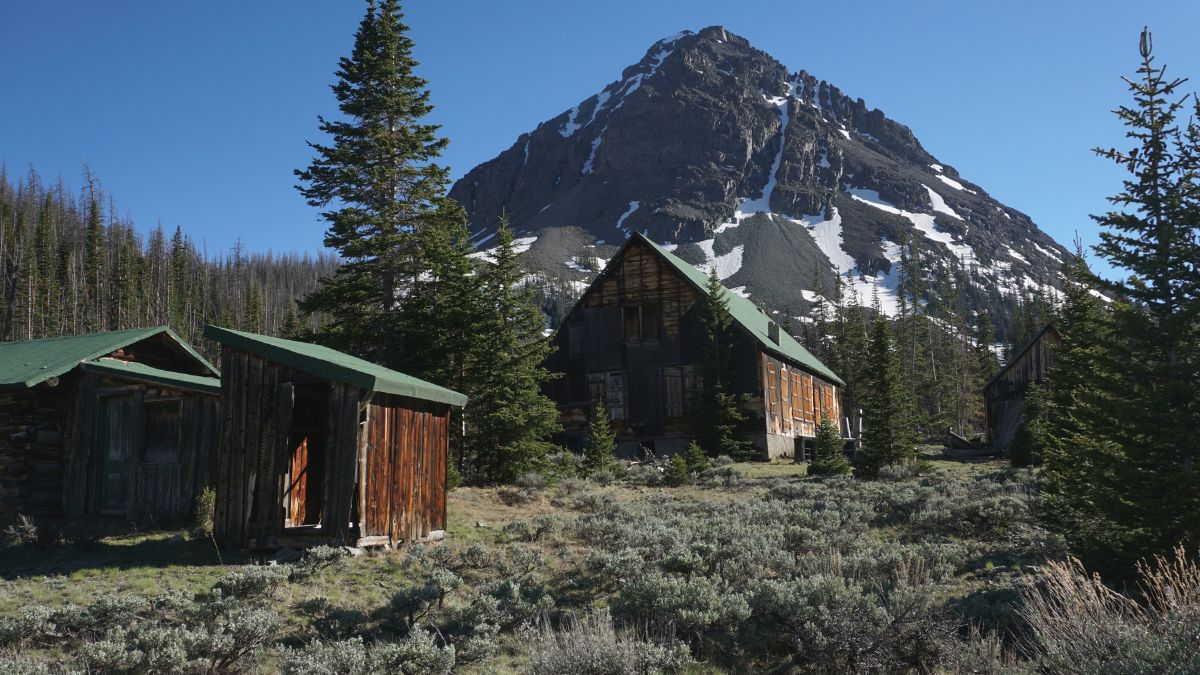
Image Credit: WyomingLight/Shutterstock.
This byway takes you west from the tiny town of Meeteetse to Kirwin, a ghost town high in the Absaroka Range. There, you can tour the ruins of what was once a lively mining town surrounded by brooding peaks, and you can also get on hiking trails that lead to high mountain passes. It’s an adventure getting there, though; there are steep grades and three river crossings. Four-wheel drive and high clearance mandatory.
Frontier Creek, Wyoming
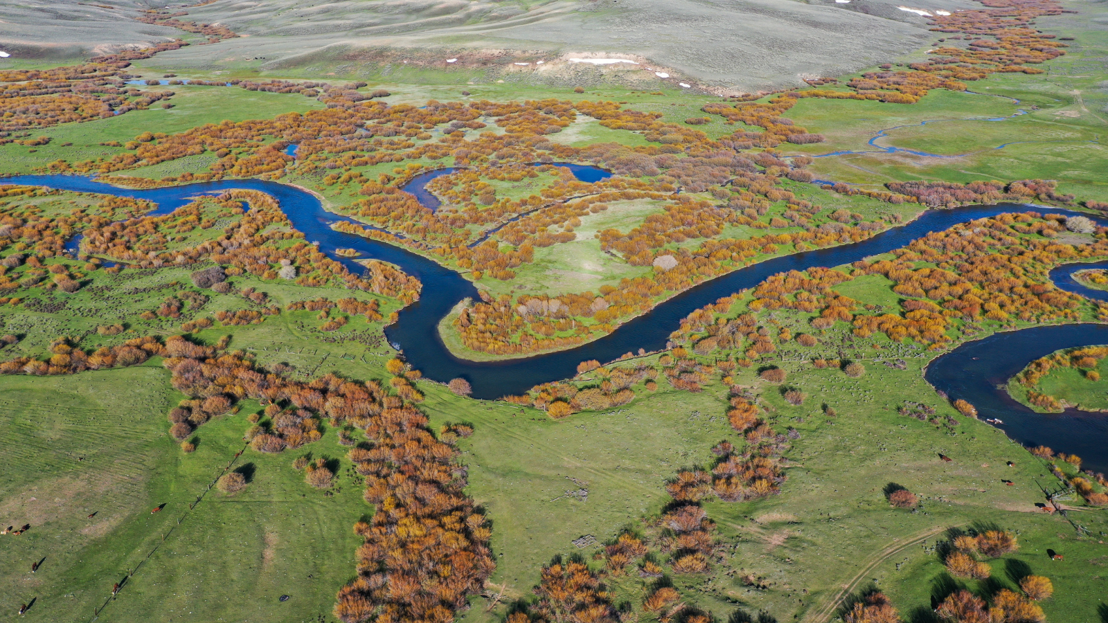
Image Credit: CactusPilot/Shutterstock,
From Dubois, Horse Creek Road leads north past colorful badlands and into the Absarokas. At a major junction, go right to head to Double Cabin, which is a trailhead and campground located at the confluence of two streams born in the alpine height. The mountain scenery is beautiful along the entire drive, and it’s at its best at the very end. Okay for most passenger vehicles.
Greys River Road, Wyoming
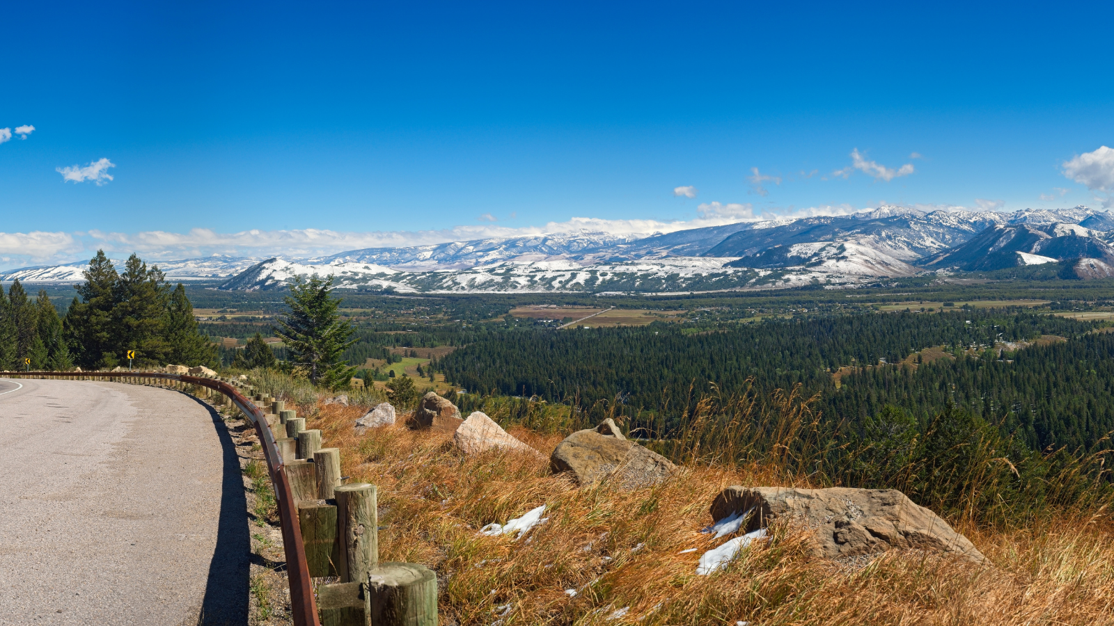
Image Credit: Kenneth Sponsler/Shutterstock.
This is a true gem that most non-locals have never heard of. From the town of Alpine at the very western edge of the state, this byway heads south up the course of the Greys River, with gorgeous views that get better the farther you go. The river lies between the Salt River Range and the Wyoming Range, and after almost 60 miles and just before the road’s apex at Tri-Basin Divide, you’ll see the Greys River’s origin as a trickle in the mountains. You can go back the way you came or follow more unpaved roads west to U.S. 89 or east to Big Piney. Okay for most passenger vehicles.
Green River Lakes, Wyoming
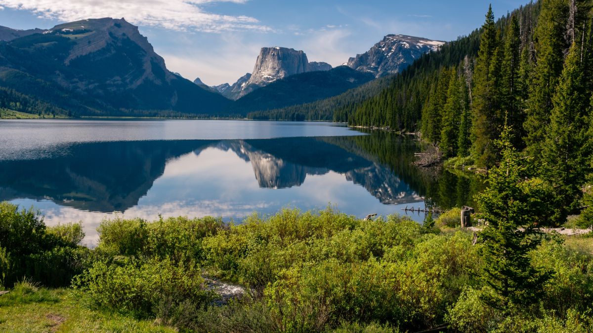
Image Credit: J.C. Woods/Shutterstock.
Just west of Pinedale, SR 352 heads north to Cora. It’s paved for several miles, but once the pavement ends, the road gets pretty bumpy, but stay with it; you’ll like the payoff. When you reach a major fork, keep right (the left fork leads to Union Pass, another nice destination). Finally, 90-120 minutes from the main highway, you’ll reach Green River Lake. The view of the lake with Squaretop Mountain in the background is one of Wyoming’s most iconic scenes. Okay for most passenger vehicles.
Boulder to South Pass, Wyoming
Image Credit: Moments Photography.site/Shutterstock.
Boulder is about a 15-minute drive south from Pinedale; from it, take paved SR 353 east. When the pavement ends, the road becomes a dusty byway that wanders through sagebrush flats and around granite outcroppings before opening up to staggering views of the southern half of the Wind River Range. Okay for most passenger vehicles.
Great Divide Basin, Wyoming
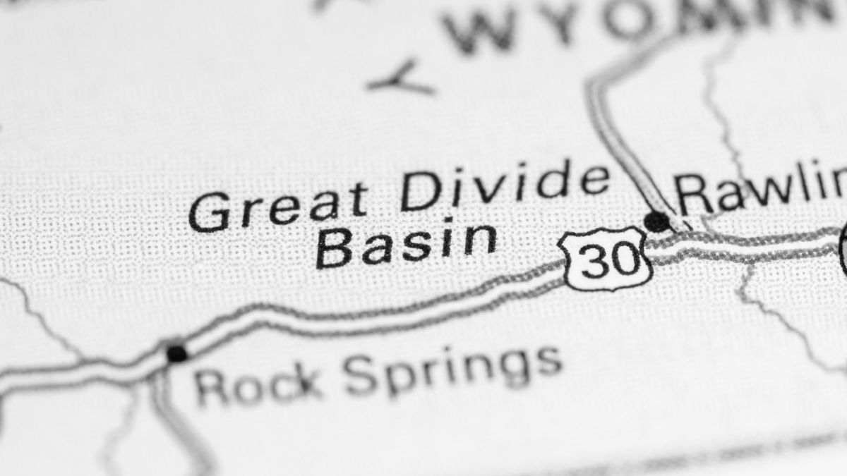
Image Credit: SevenMaps/Shutterstock.
Near South Pass and Rawlins, the Continental Divide does something strange: it splits, and the arid land in between, from which no waterways emerge, is the Great Divide Basin. Just east of South Pass, a gravel road heads south, and in about half an hour, you’ll be at the spectacular Oregon Buttes, important landmarks for Oregon-bound pioneers. Continue south through badlands and desert flats until you reach Interstate 80 at Table Rock or Wamsutter. Keep an eye out for wild horses, and see if you can fit in a detour to the Killpecker Sand Dunes. Okay for most passenger vehicles if you stick to the main roads.

Leave a Reply