
Mountain passes are popular driving and hiking destinations because they frequently feature great views, including of what’s on “the other side.”
Fortunately, the American West has a lot of scenic mountain passes accessible by paved roads. The next time you’re doing a road trip out west, make sure to include some of these mountain passes as you travel between points.
Washington Pass, Washington
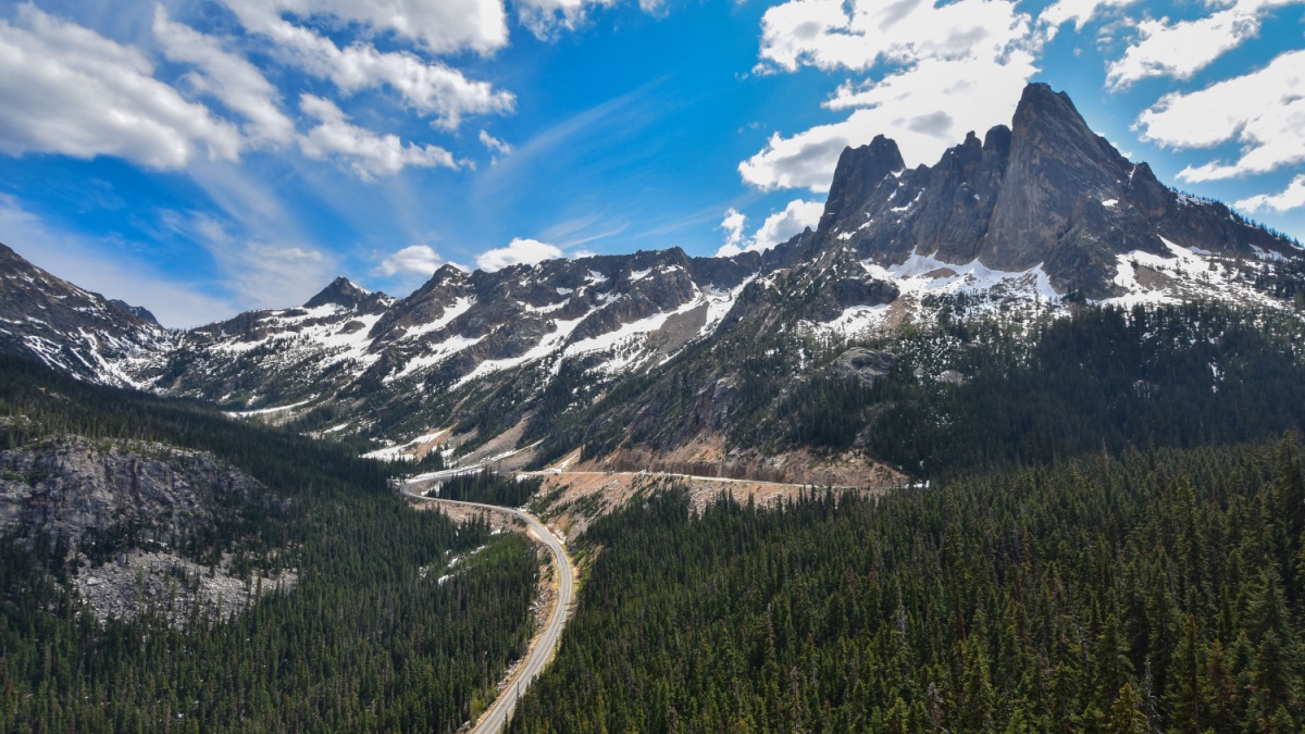
Image Credit: PNW Park Ranger/Shutterstock.
Not many roads penetrate the rugged North Cascades, but State Route 20 is an exception, cutting through the range and featuring two mountain passes, Washington Pass and Rainy Pass. Of the two, Washington Pass has the better views, including of a spectacular group of peaks and spires known as the Liberty Bell Group.
Tioga Pass, California
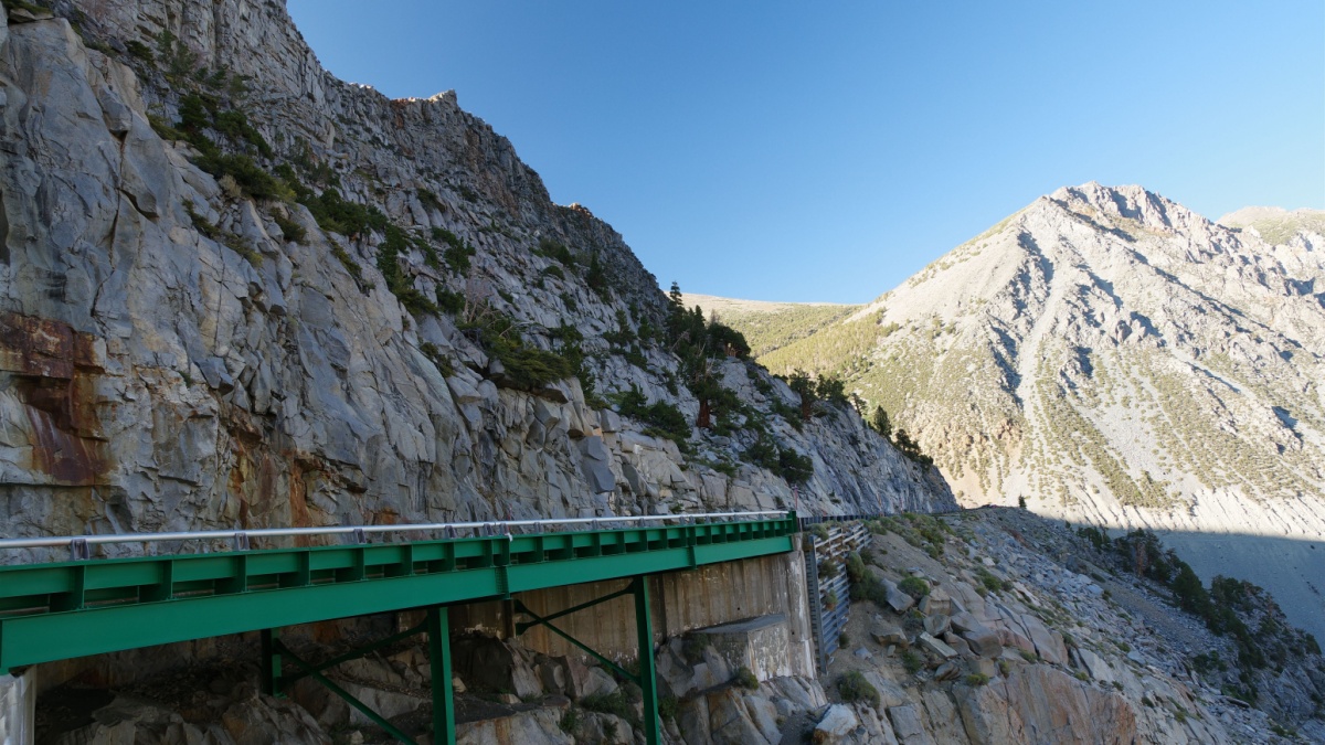
Image Credit: Dmitry Voloschenko/Shutterstock.
Tioga Pass is the alpine gateway to Yosemite National Park, and it’s only open in the summer and early fall. Several Sierra Nevada peaks are visible here, with Mt. Dana being the highest and most prominent. From the pass, you can pick up a steep hiking trail to Dana’s summit.
Logan Pass, Montana
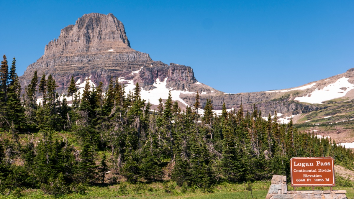
Image Credit:chamski/Shutterstock.
Logan Pass, on the Continental Divide in Glacier National Park, is at the crest of Going-to-the-Sun Road, arguably the most scenic drive in America. The pass is surrounded by rugged peaks and alpine tundra, and you’ll often see mountain goats and bighorn sheep here.
Beartooth Pass, Wyoming
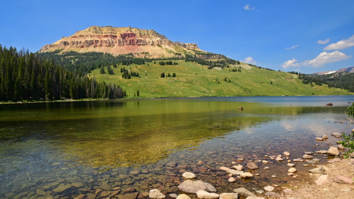
Image Credit: Nina B/Shutterstock.
The famous Beartooth Highway connects the Montana towns of Cooke City and Red Lodge, passing through Wyoming for much of its way. In the vicinity of Beartooth Pass, the road crosses into the alpine zone, where there are lakes, alpine tundra, and snowdrifts that typically never fully melt out.
Dead Indian Pass, Wyoming

Image Credit: Rexjaymes/Shutterstock.
The Chief Joseph Scenic Byway breaks off from the Beartooth Highway near its eastern end and eventually connects to the famed town of Cody. Dead Indian Pass isn’t in the alpine zone, but it has unobstructed views of beautiful Sunlight Basin and remote Absaroka Range summits such as Dead Indian Peak, Sunlight Peak, and Stinkingwater Peak.
Togwotee Pass, Wyoming
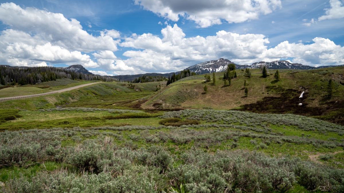
Image Credit: melissamn/Shutterstock.
Togwotee Pass is also in the Absarokas, and it’s on the Continental Divide and crossed by a highway connecting Dubois and Grand Teton National Park. Meadows around the pass yield good views of the surrounding mountains, and in the summer, it’s not unusual to see grizzly bears feeding in those meadows. These animals are large, powerful, dangerous, and unpredictable, so view them safely from inside your vehicle.
Powder River Pass, Wyoming
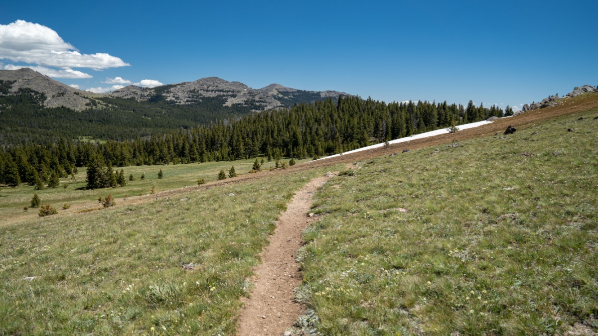
Image Credit: melissamn/Shutterstock.
Powder River Pass is one of the highpoints along the Cloud Peak Scenic Byway in the Bighorn Mountains. There are good mountain views here, but the small peak just north of the pass is an easy clamber up and has even better views.
Snowy Range Pass, Wyoming
Image Credit: daniilphotos/Shutterstock.
Southeastern Wyoming’s Snowy Range does indeed get a lot of snow and typically holds some all summer long, but it’s actually named for the white quartzite that’s so prevalent in the makeup of these mountains. Snowy Range Pass breaks into the alpine, and you can see delicate wildflowers blooming in tundra meadows while having big, snowy mountains in the background as an amazing contrast.
Loveland Pass, Colorado
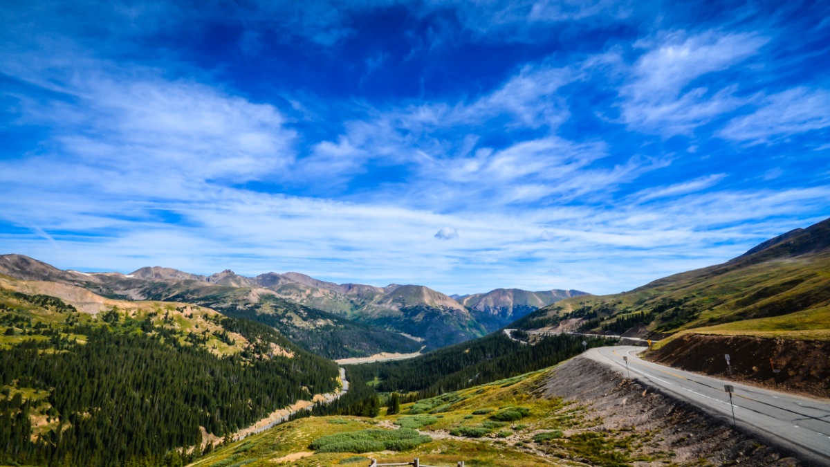
Image Credit: Sandra Foyt/Shutterstock.
Loveland Pass on the Continental Divide is a quick detour from an I-70 exit near the Eisenhower Tunnel. There are excellent views from this alpine pass, and it’s open all year long because vehicles carrying hazardous materials aren’t allowed in the tunnel. A trail leads from the pass to the summit of Mt. Sniktau, providing a relatively quick and easy peak ascent if you want one.
Guanella Pass, Colorado
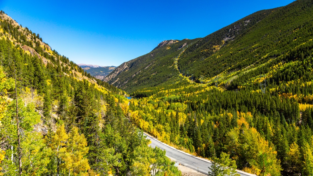
Image Credit: Marilyn D. Lambertz/Shutterstock.
Connecting Georgetown and U.S. 285 to the south, the Guanella Pass Scenic Byway gets a lot of traffic. Although the entire route is paved, you might want to go out in a four-wheel drive vehicle since several trailheads and worthy side trips require it.
Independence Pass, Colorado
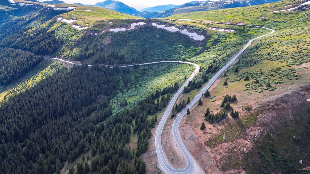
Image Credit: Cat Dang Photography/Shutterstock.
Many people drive over Independence on their way to or from Aspen. It’s another pass high on the Continental Divide and surrounded by snowy peaks and wildflower-bedecked alpine tundra. There’s even a tarn there to help you frame a perfect mountain photo.
Cottonwood Pass, Colorado

Image Credit: Cavan-Images/Shutterstock.
Cottonwood Pass, also on the Continental Divide, is east of Buena Vista. West of the pass, the road is unpaved, but it’s paved all the way from town to the pass. The ridges are pretty gentle here, and you can get out and stroll along them for some fresh air and nicer views.
Molas Pass, Colorado
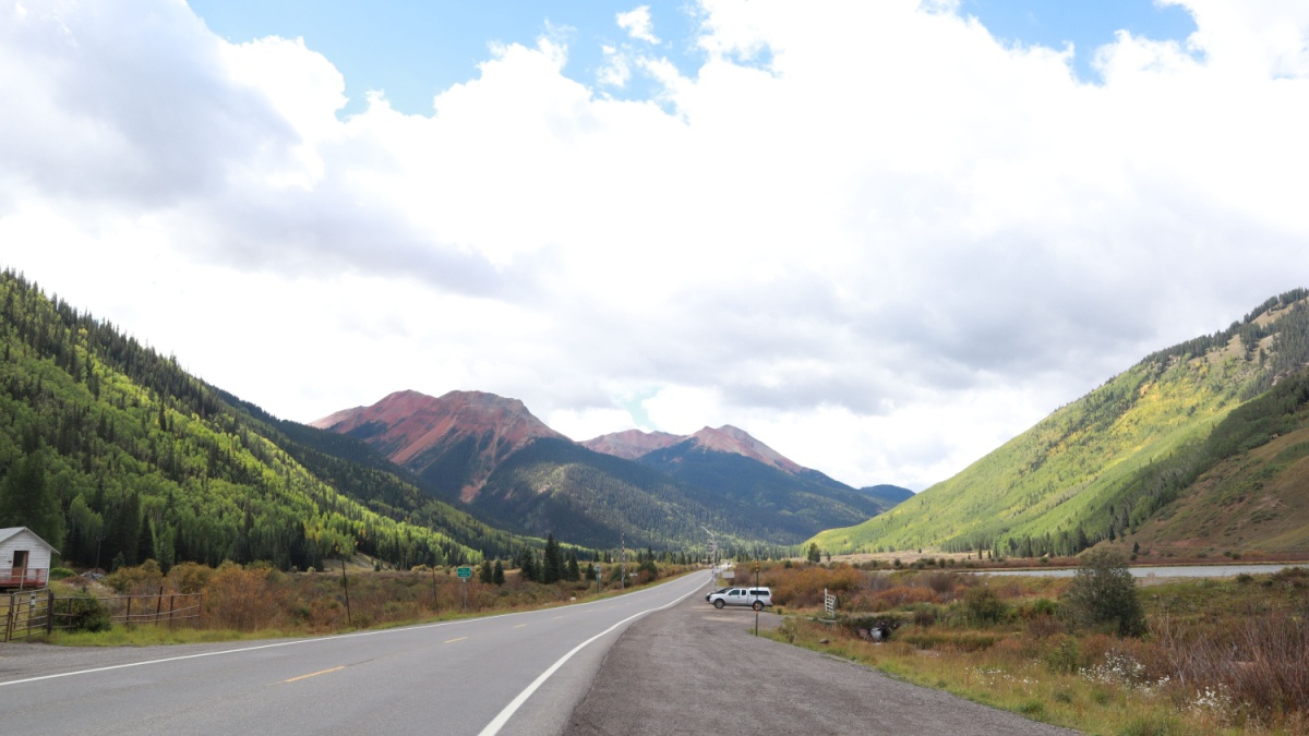
Image Credit: Samuel Parsons/Shutterstock.
The San Juan Skyway makes a grand tour of the San Juan Mountains in Southwestern Colorado. Molas Pass is a high summit with great views south of Silverton along the U.S. 550 portion of the Skyway. This stretch is also called the Million Dollar Highway, a reference to the area’s mining history.

Leave a Reply