
With the Teton Range, the Wind River Range, and other lesser-known ranges, Wyoming has some of the most spectacular mountains in the country.
Some of the best of them are only visible if you hike deep into the backcountry, but fortunately, there are many beauties you can see well from roads. But that doesn’t mean you shouldn’t lace up the hiking boots and get closer!
Cloud Peak, Bighorn Mountains
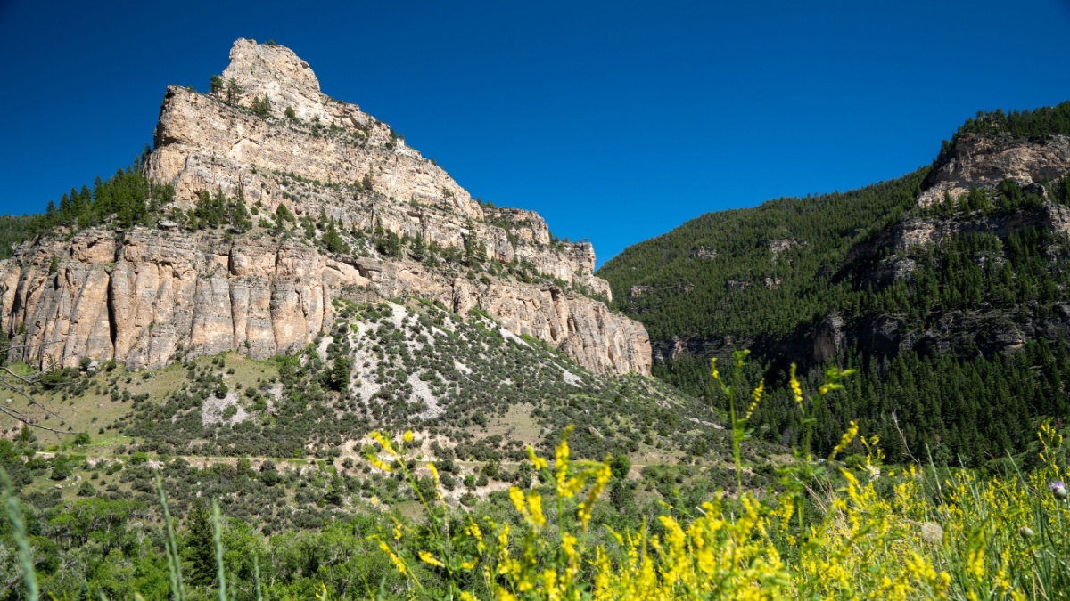
Image Credit: melissamn/Shutterstock.
Cloud Peak is the highest of the Bighorns and one of just four state “13ers”– peaks higher than 13,000’– not in the Wind River Range. There are great views of it from portions of the Cloud Peak Scenic Byway connecting Buffalo and Ten Sleep.
Beartooth Butte, Beartooth Range
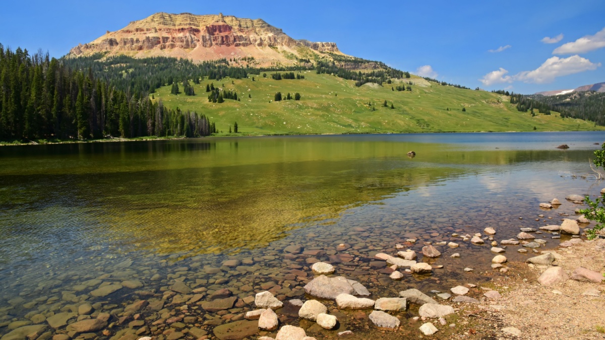
Image Credit: Nina B/Shutterstock.
Far from being the highest peak in Montana and Wyoming’s Beartooths, Beartooth Butte is one of its most spectacular and unusual. The classic view of it is from Beartooth Lake right off the Beartooth Highway, where you can often get a great reflection shot. A different perspective is available not far away at the end of a short spur to Clay Butte Lookout.
Pilot Peak, Absaroka Range
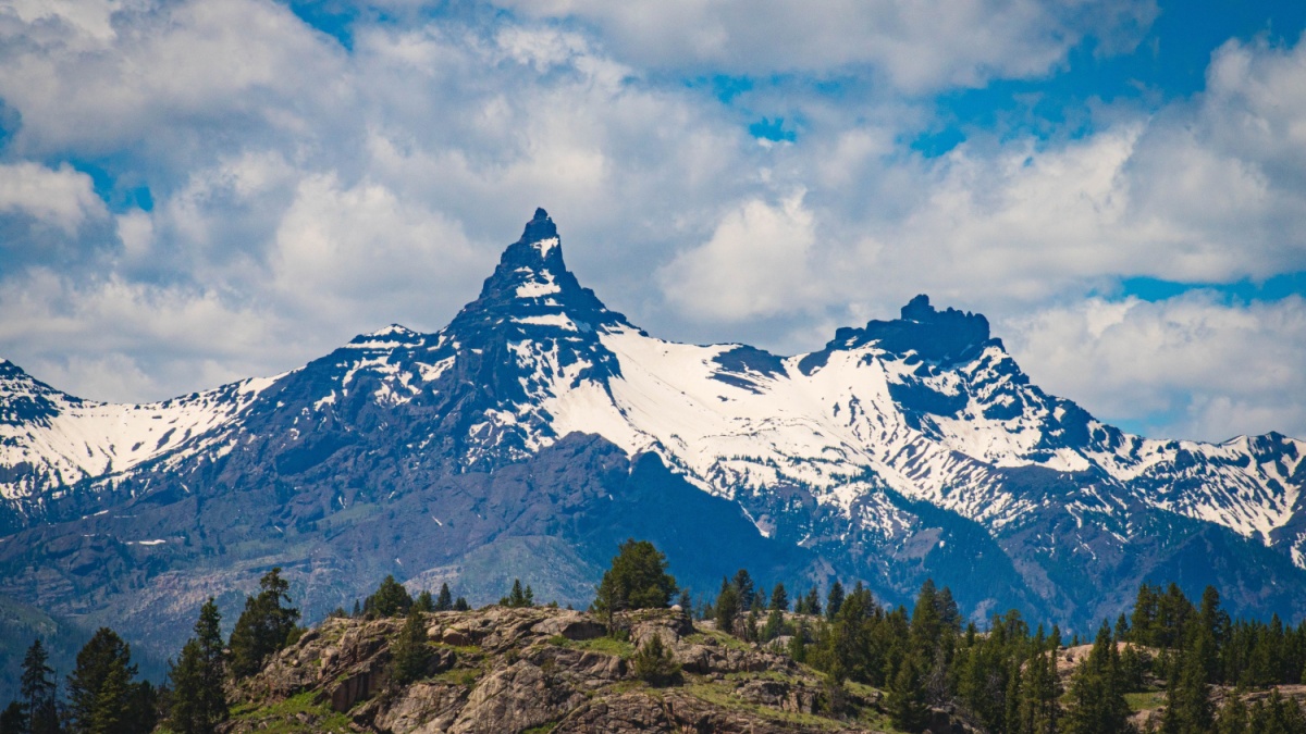
Image Credit: Jonathan Szostek/Shutterstock.
The Beartooth Highway is also the best (and almost the only) way to see this peak from a paved road. It’s a tall, narrow spire that looks like a fang piercing the sky, and it’s among the most difficult and dangerous mountains in the Yellowstone region to climb.
Barronette Peak, Absaroka Range
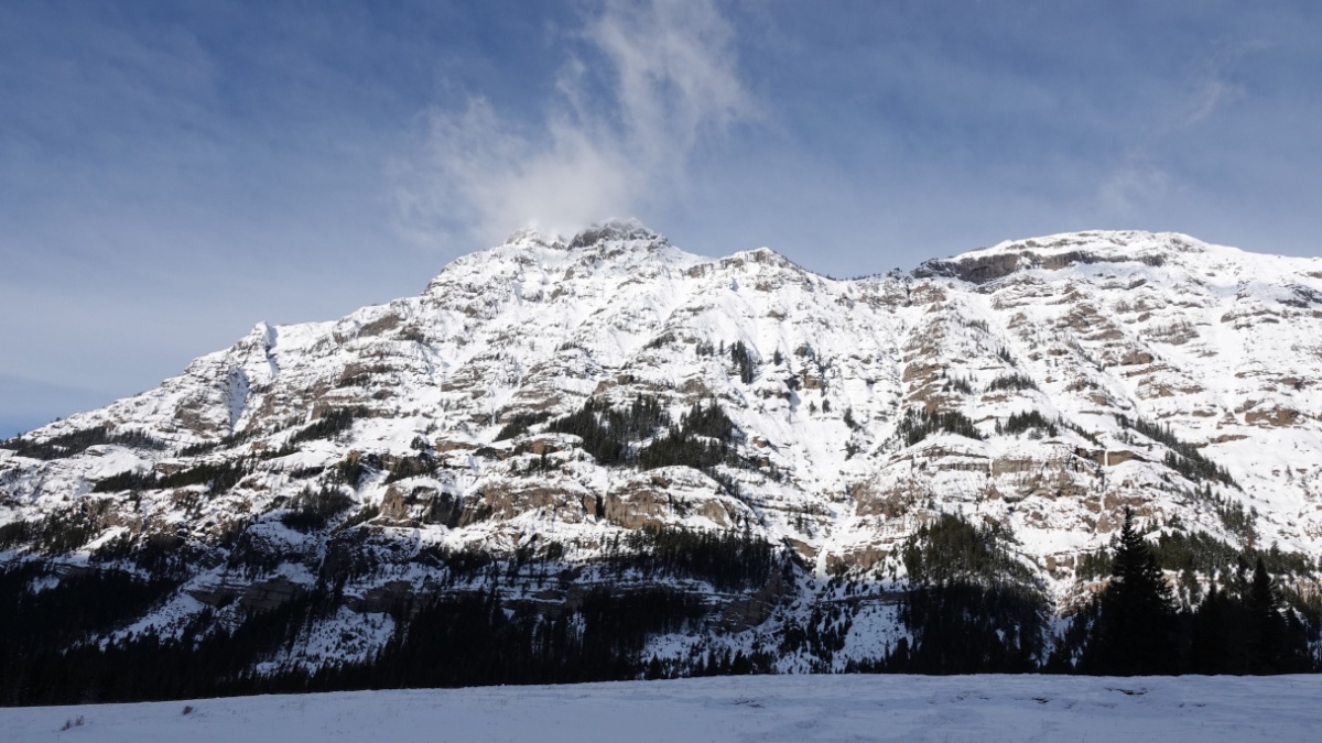
Image Credit: JULIA Culp/Shutterstock.
For several miles near Yellowstone’s Northeast Entrance, the park road parallels this peak. Its incredibly steep cliffs appear to make the mountain’s heights unattainable, but seasoned mountaineers know of ways up it. In early and middle summer when snow is melting, there are often tall waterfalls tumbling down the cliffs.
Pinnacle Buttes, Absaroka Range
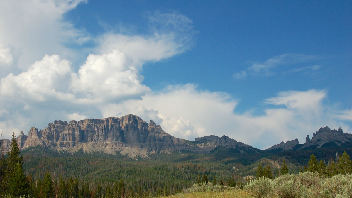
Image Credit: Steve Boice/Shutterstock.
Between the town of Dubois and Grand Teton National Park, the highway climbs into the dark and rugged Absaroka Range. A few miles east of Togwotee Pass, the road passes directly by the Pinnacle Buttes, a complex of five distinct summits and numerous other spires, many of them unclimbed and/or unclimbable. For an especially incredible view of these peaks, take the 5-mile spur to Brooks Lake, one of the most beautiful mountain lakes you’ll ever see.
Heart Mountain, Absaroka Range
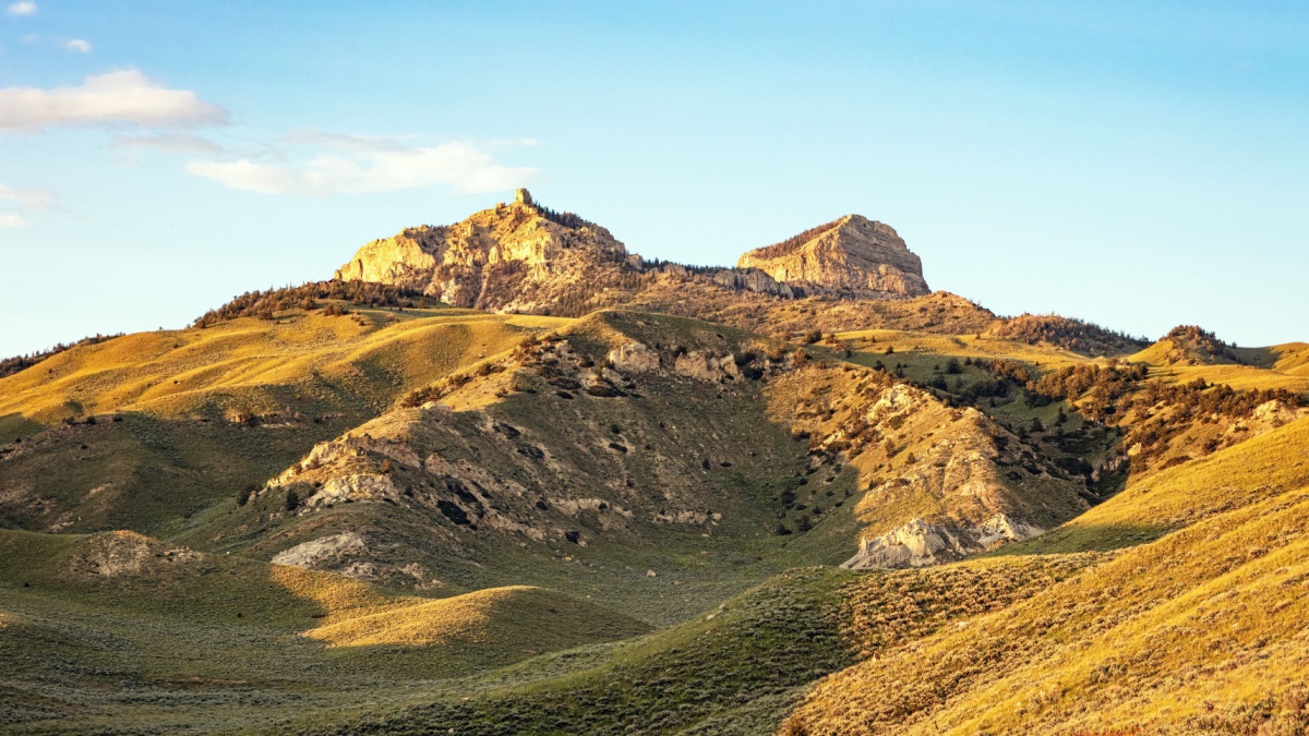
Image Credit: Tom Olson/Shutterstock.
Geologically, Heart Mountain is very similar to Beartooth Butte. It sits detached east of the main Absaroka Range, and its isolation makes it prominently seen from the Cody area. The best roadside views, though, are from the Chief Joseph Scenic Byway, which passes close to the peak in places.
Mt. Moran, Teton Range
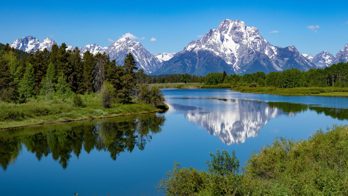
Image Credit: blewulis/Shutterstock.
Moran is one of the signature peaks of the Tetons, and you’ve probably seen it in many pictures even if you didn’t know it by name. The best times to photograph it are early fall, when golden aspens and cottonwoods frame it, and in winter, when snow often coats it from head to foot.
Grand Teton, Teton Range
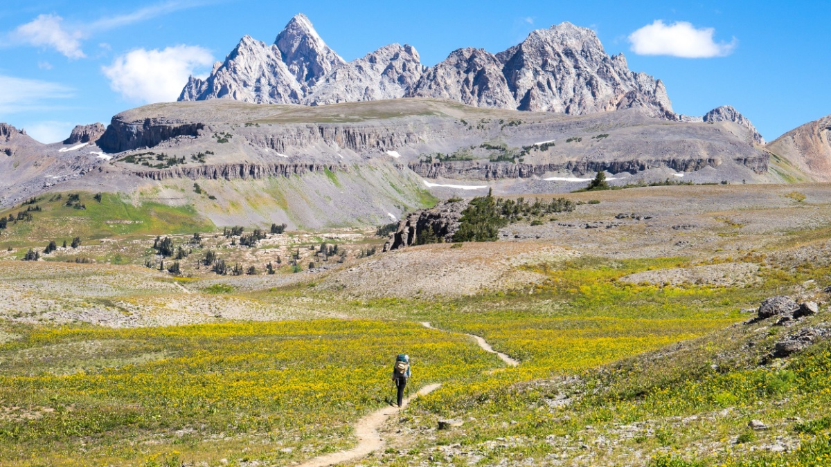
Image Credit:aaronj9/Shutterstock.
“The Grand” is one of America’s most iconic mountains and one of the most famous in the world. As you drive through Grand Teton National Park, you’ll have almost countless opportunities to photograph. For a less commonly seen perspective, though, check out the views of it from the Idaho side.
Fremont Peak, Wind River Range
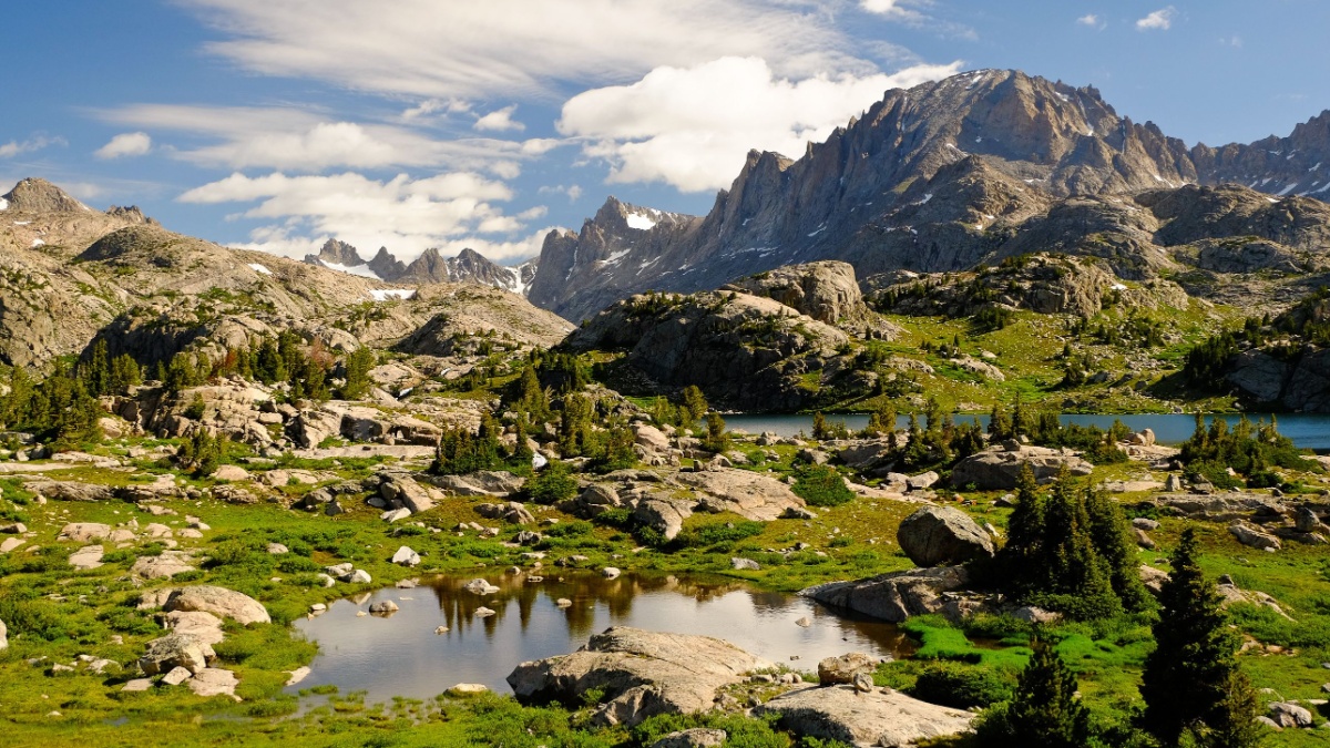
Image Credit: Tobin Akehurst/Shutterstock.
Fremont is the second-highest peak in the Winds (behind Gannett) and the third-highest in Wyoming (behind Gannett and the Grand). Although the summit of Gannett is visible from roads in the Pinedale area, most of the mountain is hidden behind other peaks. Fremont, though, is massive and not blocked by other peaks. For the best roadside views, drive out of Pinedale to an overlook on the way to Elkhart Park.
Squaretop Mountain, Wind River Range
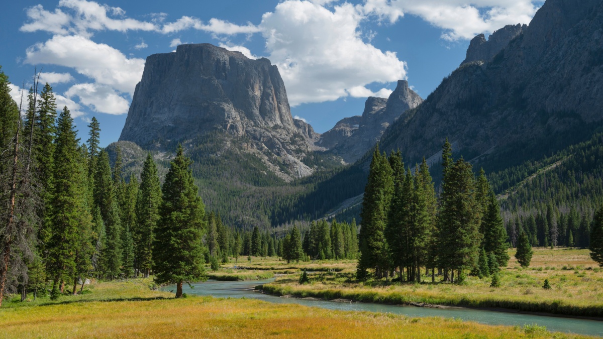
Image Credit: Danita Delimont/Shutterstock.
Some people say that the view of Squaretop from Green River Lake is the most-photographed spot in Wyoming, but that’s doubtful considering the fame of the Grand Teton and that it’s a long, bumpy drive to Green River Lake. However, it may be that the particular view here is the most-photographed mountain scene in Wyoming. Aptly named Squaretop rises directly behind a large, beautiful lake that often reflects it perfectly.
Triple Peak, Wyoming Range
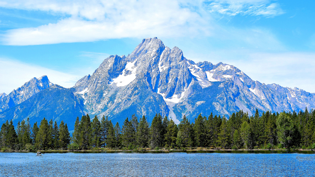
Image Credit: Ray Geiger/Shutterstock.
Triple Peak can be seen far away from the east, but it’s best seen up close. The easiest way to do that is to follow any of a number of roads to McDougal Gap Road. As you approach McDougal Gap, the views of Triple Peak, known for its three summits and its long limestone cliff band, get better and better, as do views of its neighbor directly to the north, Mt. McDougal.
Oregon Buttes, Great Divide Basin
Image Credit: Tristan Brynildsen/Shutterstock.
From near South Pass, drive south on Oregon Buttes Road into the Great Divide Basin. It’s unpaved, but it’s for most vehicles to travel on. After about 20 to 30 minutes, you’ll come upon the Oregon Buttes, three desert peaks on the Continental Divide. Keep an eye out for wild horses and pronghorns, the fastest land animals in North America.
Medicine Bow Peak, Snowy Range
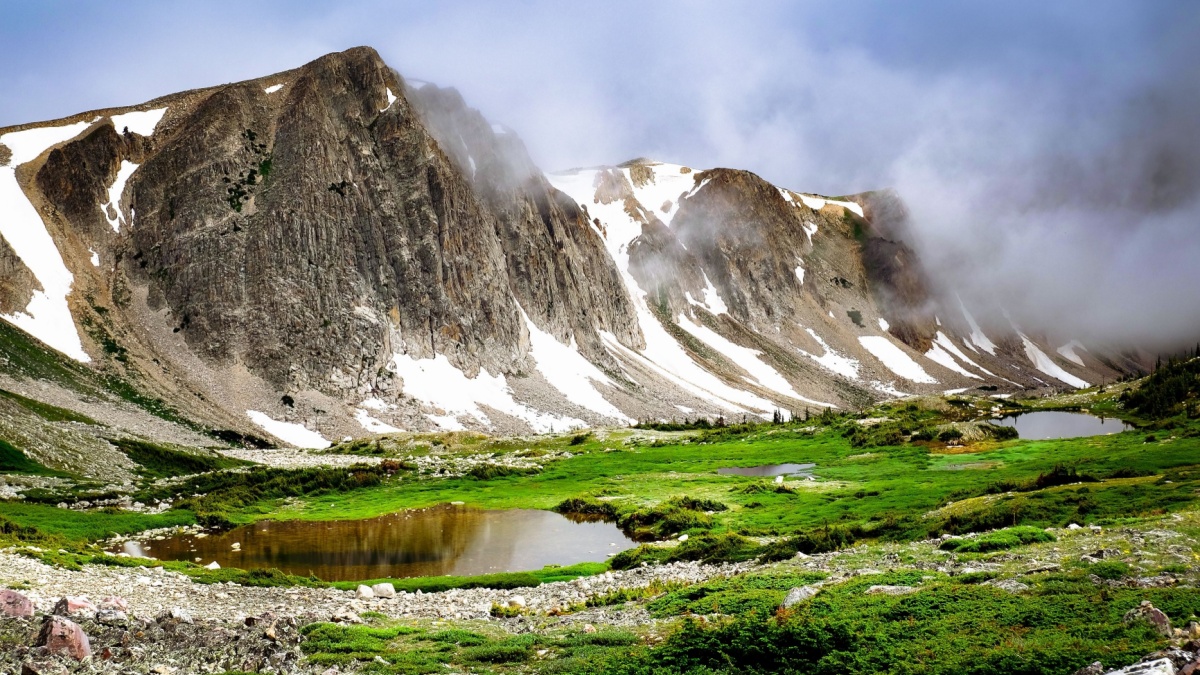
Image Credit: Tobin Akehurst/Shutterstock.
Medicine Bow Peak is the highest and largest mountain in the small but spectacular Snowy Range in southeastern Wyoming. The Snowy Range Scenic Byway provides many excellent views of this mighty peak and the glistening blue lakes at its base.

Leave a Reply