
Yellowstone is a huge national park, but it’s only a part, and the centerpiece, of a much larger area known as the Greater Yellowstone Ecosystem. Greater Yellowstone spans parts of three states– Idaho, Montana, and Wyoming– and it has some of the best and most important wildlife habitat in the country.
With 10 major mountain ranges and a handful of lesser ones, the region has no shortage of great hiking trails amidst incredible scenery.
Following are some of the best.
Hilgard Basin
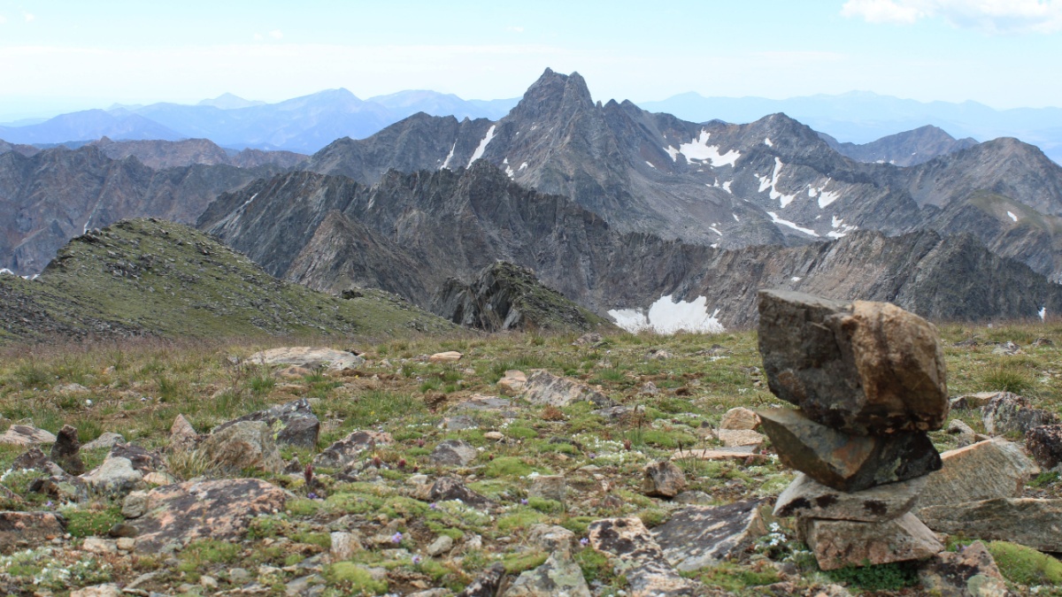
Image Credit: Emily Kerns
/Shutterstock.
You can do this one in Montana’s Madison Range as a long day hike, but if you do, you’ll probably wish you had made it an overnighter so you could explore the area for another day or two. The trail leads to Hilgard Basin, where the scenic highlight is Expedition Lake framing Echo Peak. Hilgard Peak, the range’s highest, is close, and with good route-finding skills and some experience with rock climbing, you can make it to the top.
Hyalite Lake
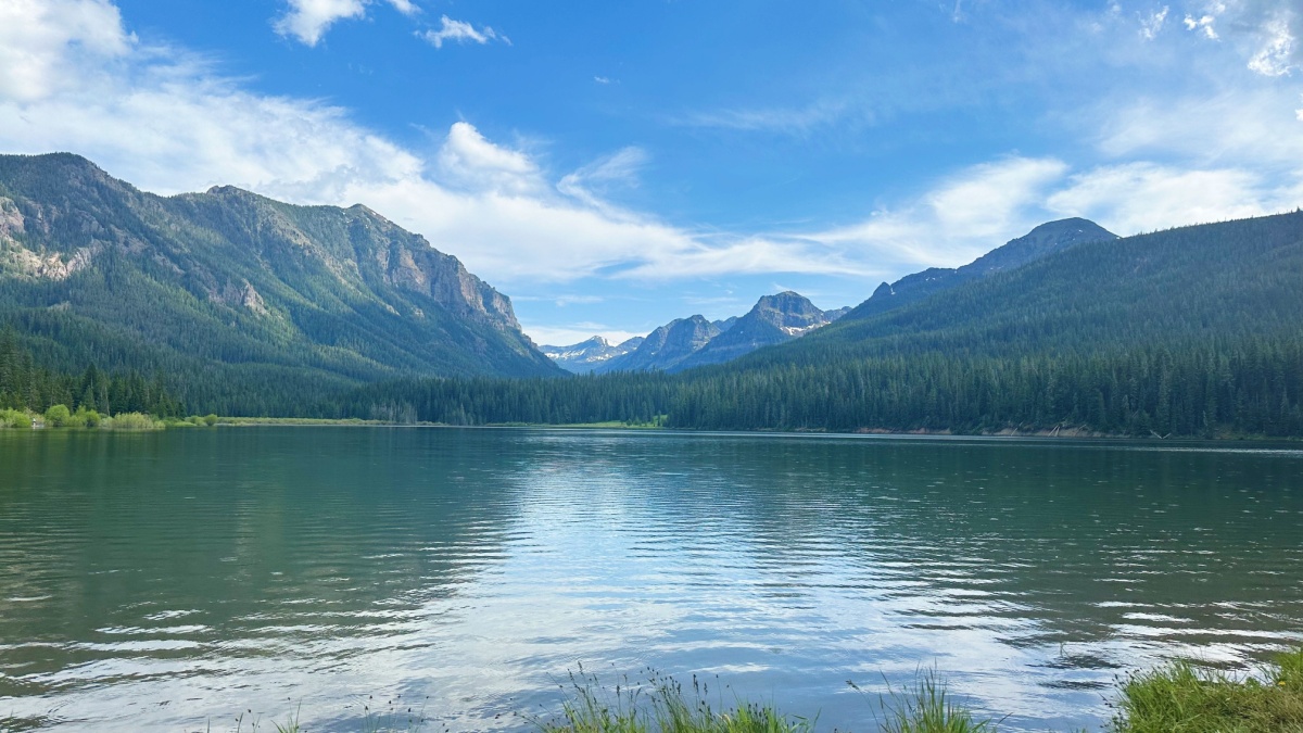
Image Credit: Madelynn.Lippy/Shutterstock.
The Gallatin Range dominates the skyline from Bozeman, Montana. From town, drive up Hyalite Canyon and follow signs to the trailhead for Hyalite Creek. A moderate trail leads for about 5 miles past several pretty waterfalls to sparkling Hyalite Lake, which is just about at timberline. If you have enough time and energy left or are backpacking in, you can take an unmaintained trail to the summit of Hyalite Peak, one of the highest in the range.
Black Canyon Lake
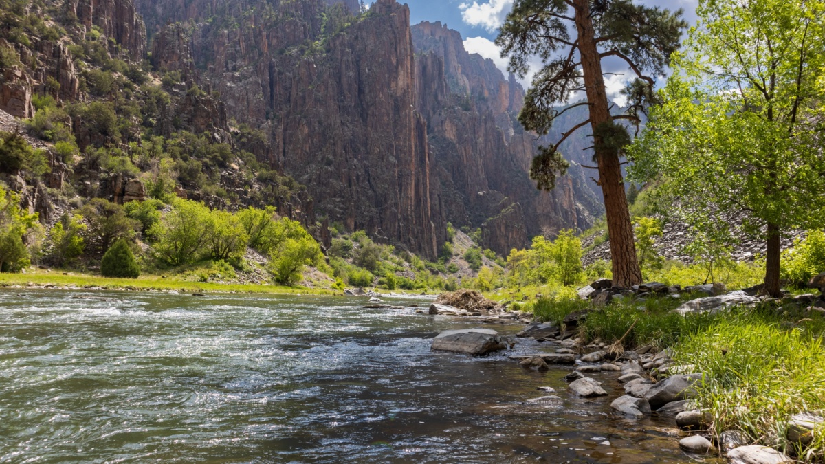
Image Credit: Becca in Colorado/Shutterstock.
It’s about 14 miles round-trip to visit this lake in Montana’s portion of the Beartooth Mountains, and it’s best done as a long day hike or a detour on an overnighter since the lake’s shore is a boulder field with poor camping options. It’s also an adventure to get there because of traversing that boulder field, but the scenery at the end is absolutely stunning and wild.
Specimen Ridge
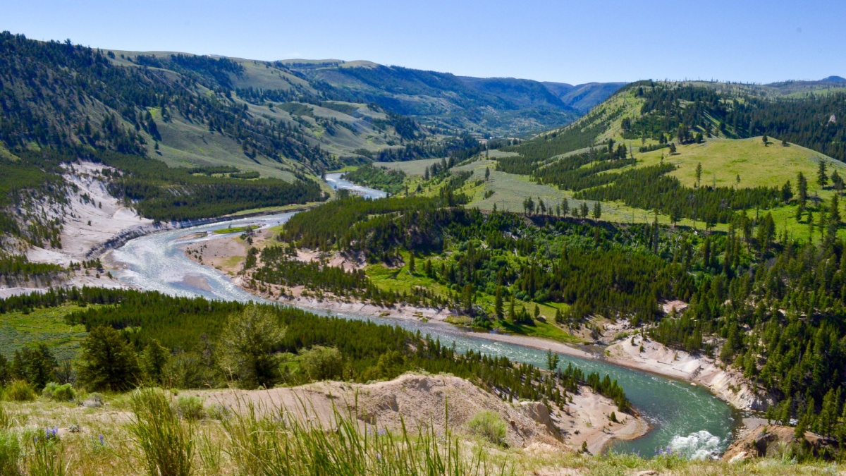
Image Credit: Bridget Moyer/Shutterstock.
This relatively little-known trail is in the northeastern section of Yellowstone National Park. The trail makes a moderately steep ascent of the ridge, and then it’s mostly flat for miles. There are sweeping views of some of Yellowstone’s wildest country, and the trail lives up to its name as you come upon specimens of petrified wood, minerals, and elk antlers. Note that it is illegal to remove any of them!
Uncle Tom’s Trail
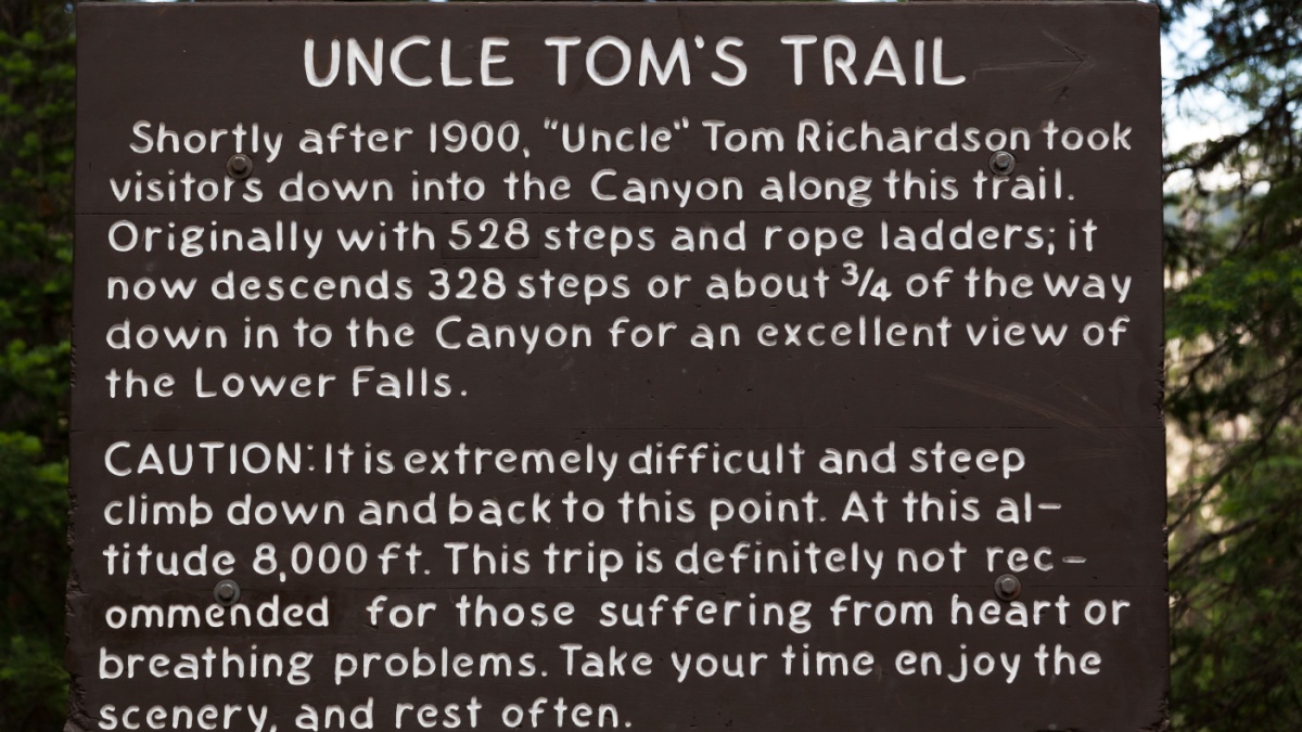
Image Credit: Tami Freed/Shutterstock,
This short, steep trail in Yellowstone leads you to a platform very close to the Lower Falls of the Yellowstone River. The sound of the plunging river is almost deafening; expect to get wet from the mist that’s almost always blowing about.
Alaska Basin
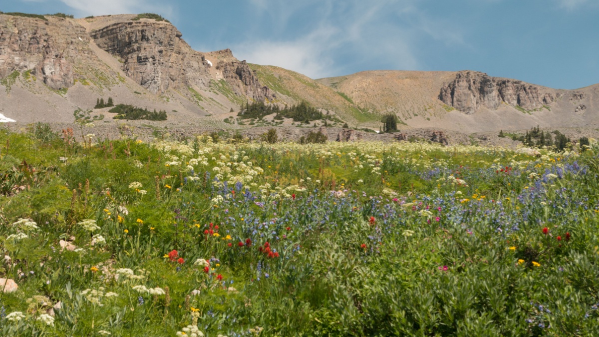
Image Credit: Michelle Holihan/Shutterstock
This destination is in Wyoming’s Teton Range, and you access it from the Idaho side via the Jedediah Smith Wilderness. This is another one that you can do in a long day but will enjoy more as a backpacking outing. It’s 7 miles of easy-to-moderate hiking to the basin itself, but it’s better to use it as a base camp so you can explore multiple spurs and mountain passes nearby, including one with an unforgettable view of the Grand Teton that few others ever see.
Cascade-Paintbrush Loop
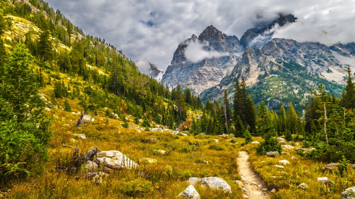
Image Credit: Kris Wiktor/Shutterstock.
If there’s one hike in Grand Teton National Park that no one in shape for it should ever miss, this is it. It ascends one beautiful canyon and descends another, and they’re connected by Paintbrush Divide, sometimes described as a trail destination with views normally reserved for mountain climbers. In all, it’s about 23 miles, but you can cut off about 2 miles one or both ways with a boat shuttle across Jenny Lake.
Greybull Pass
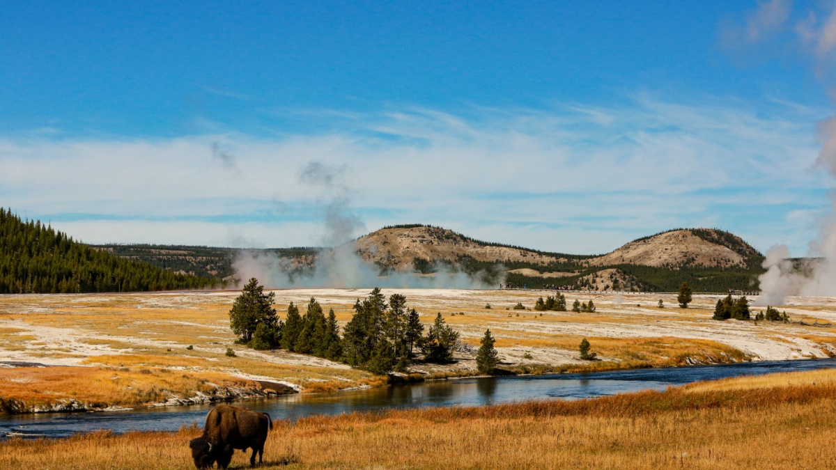
Image Credit: Danita Delimont/Shutterstock.
It’s a long drive on unpaved roads with multiple water crossings and the need for four-wheel-drive, but the old ruins of Kirwin, once a mining boomtown, are amazing once you finally get there. And then there are multiple hiking opportunities. Perhaps the best is the short but very steep trail to Greybull Pass, where there are crumbly pinnacles of volcanic rock and views of Francs Peak, the highpoint of Wyoming’s largest and wildest mountain range, the Absarokas.
Frontier Creek
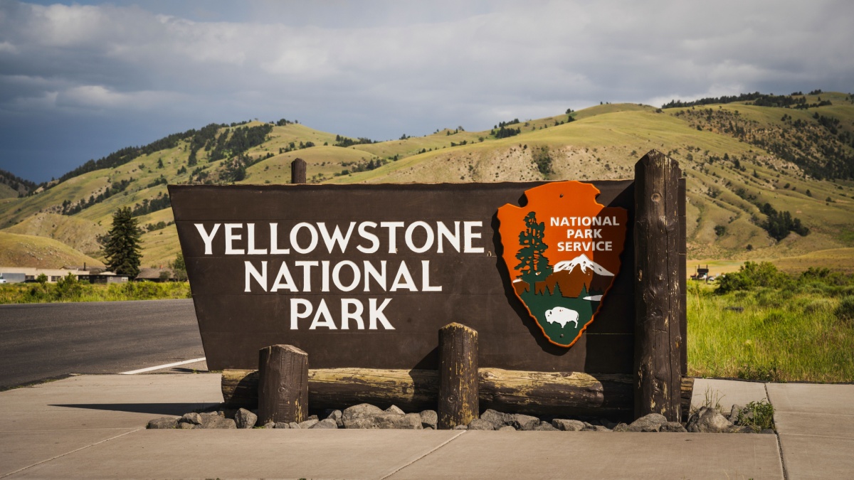
Image Credit: NayaDadara/Shutterstock.
From the small town of Dubois, it can take nearly two hours to drive the mostly unpaved route to the Double Cabin Trailhead, which itself is a stunning setting. There, two crystal-clear mountain streams converge. The one to the left (north) is Frontier Creek, and just crossing it and hiking for a bit on the trail on the other side feels like entering another world. If you don a backpack, though, you can head nearly 10 miles upstream and have access to mountain passes, alpine lakes, and a forest of petrified wood.
Titcomb Basin
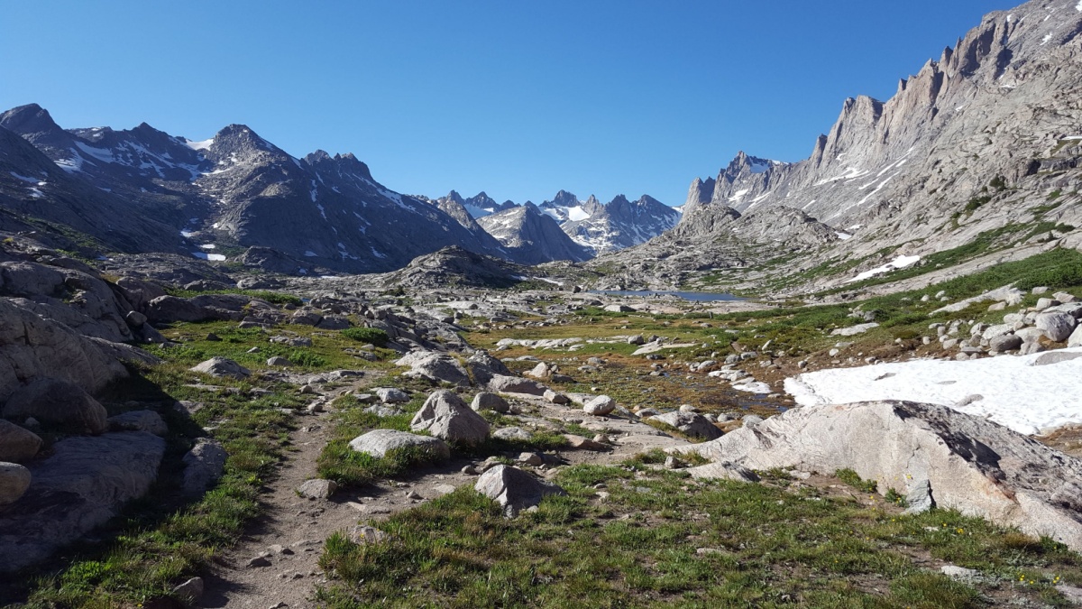
Image Credit: Alex Prizzi/Shutterstock.
The Wind River Range is Wyoming’s Sierra Nevada: long, vast, studded with glacially carved lakes, and dominated by towering and jagged granite peaks. Except for the very hardiest of hikers, visiting Titcomb Basin, accessed from the town of Pinedale, means a backpacking trip, but it’s worth it. The basin itself is one of the most beautiful places you’ll ever see, and nearby Indian Basin is just as spectacular. Plus, a very steep trail from the upper end of Titcomb Basin leads to Bonney Pass, where you have views of the largest glaciers in the U.S. Rockies and the highest peaks in Wyoming, including the very highest, Gannett Peak.
Cirque of the Towers
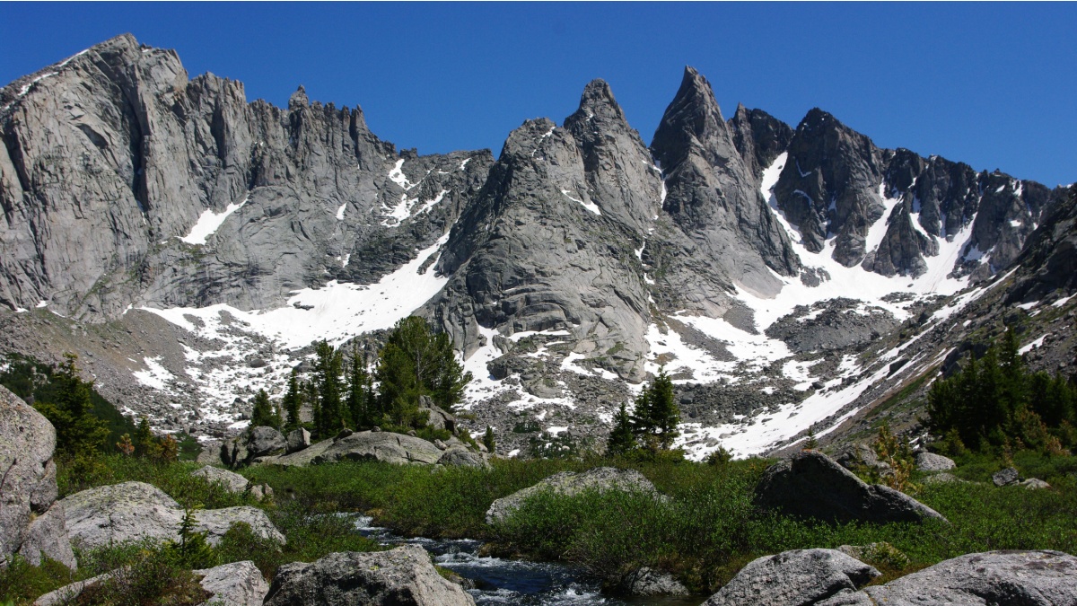
Image Credit: Chuck Ledgerwood/Shutterstock.
This stunning location is also in Wyoming’s Wind River Range, and it attracts backpackers and mountain climbers from all over the world. You can view the Cirque from Jackass Pass, which is a long day hike at 7.5 miles from the trailhead, though the first 5 miles are mostly flat. But this is another one that you’ll probably want to spend more time exploring.
Wyoming Peak
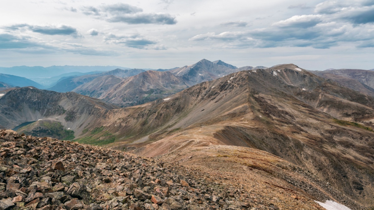
Image Credit: Cavan-Images/Shutterstock.
The Wyoming Range is one of the least-known ranges in Greater Yellowstone, perhaps because no paved roads penetrate it. There are two trailheads for this peak, both of them reached by long drives on dirt roads, and the easier of the two trails starts from the western side but requires a longer drive, though the scenery along the journey is more than worth it. On clear days, you can see the summits of Gannett Peak and the Grand Teton, respectively Wyoming’s highest and second-highest peaks.
The 30 Most Beautiful Places in the World That Everyone Must See
Image Credit: Sergio Amate/Shutterstock.
There’s no way you could ever come up with a definitive list of the world’s most beautiful places. However, if you ask around, some places come up a lot more frequently than others do.
The following are some of the places that people mention over and over again, not in any particular order.
30 Breathtaking Places You Must See Before You Die
The Two Best Scenic Wonders in Each of the Mountain States
Image Credit: Galyna Andrushko/Shutterstock.
The Mountain States– Idaho, Montana, Wyoming, Utah, Colorado, Arizona, and New Mexico– have some of the wildest and most rugged landscapes in the United States. Because they’re so big, it can take a lot of time to visit them, so it helps to be able to plan for some specific destinations.
Following are our choices for the top two must-see outdoor locations in each of these seven states.

Leave a Reply