
Let’s learn a bit about one of the most popular activities in Southern California: peakbagging. (Were you expecting something else?)
Peak bagging or hill bagging is an activity in which hikers, climbers, and mountaineers attempt to reach a collection of summits, published in the form of a list.
If you are trying to ascend all the county highpoints in a state, that’s peakbagging. So is going out for the day to the tops of three summits connected by a ridge. It’s a catch-all term that’s an alternative to climbing since a lot of people disagree on what it means to actually climb a mountain.
Death Valley National Park has an abundance of cool peaks scattered all about, and some of them are high enough to provide respite from the blazing summer heat. Several are also considered desert classics by the peakbagging community.
Thimble Peak
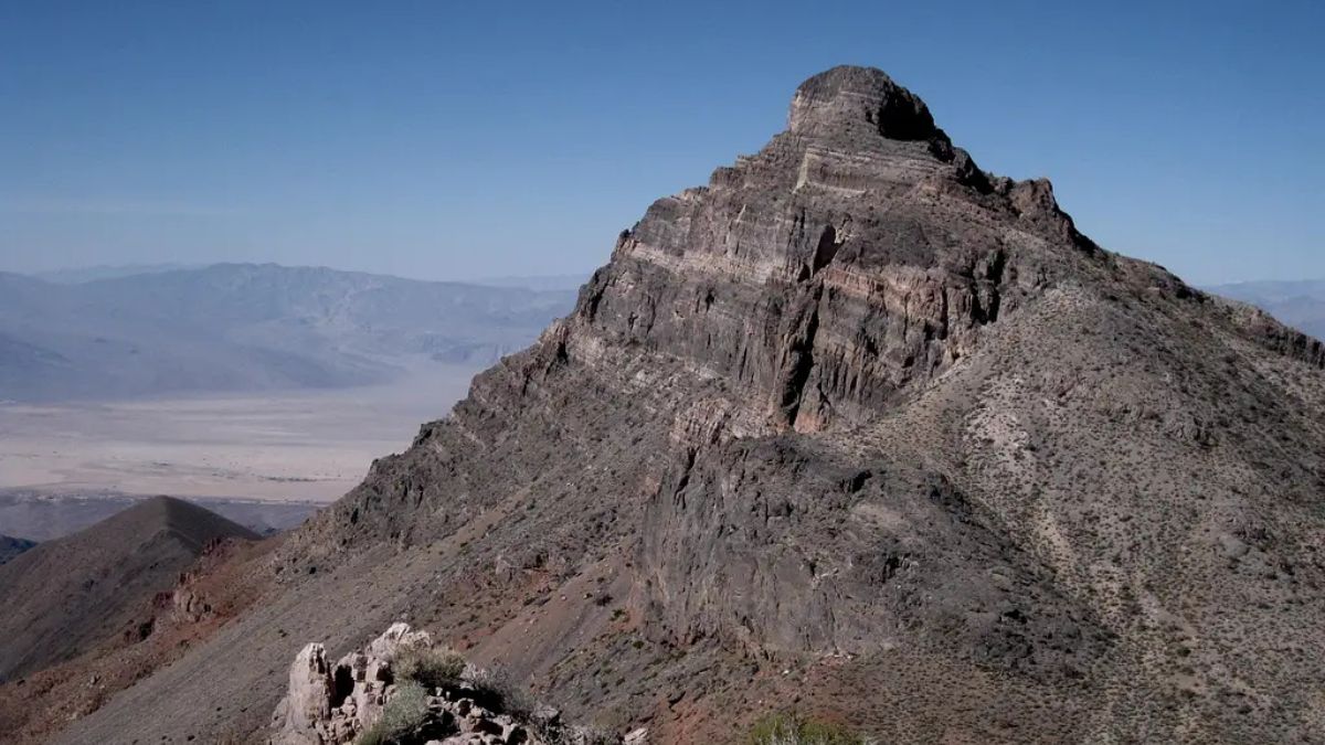
Image Credit: Robert Sihler.
From many vantage points in the park, Thimble Peak, as the cliche goes, sticks out like a sore thumb. Naturally, this draws attention and entices people who love climbing mountains. The easiest way to get up Thimble is from Red Pass on the one-way dirt road from Beatty to Titus Canyon. Summit views are exceptional; they’re among the very best I’ve experienced in Death Valley.
Corkscrew Peak
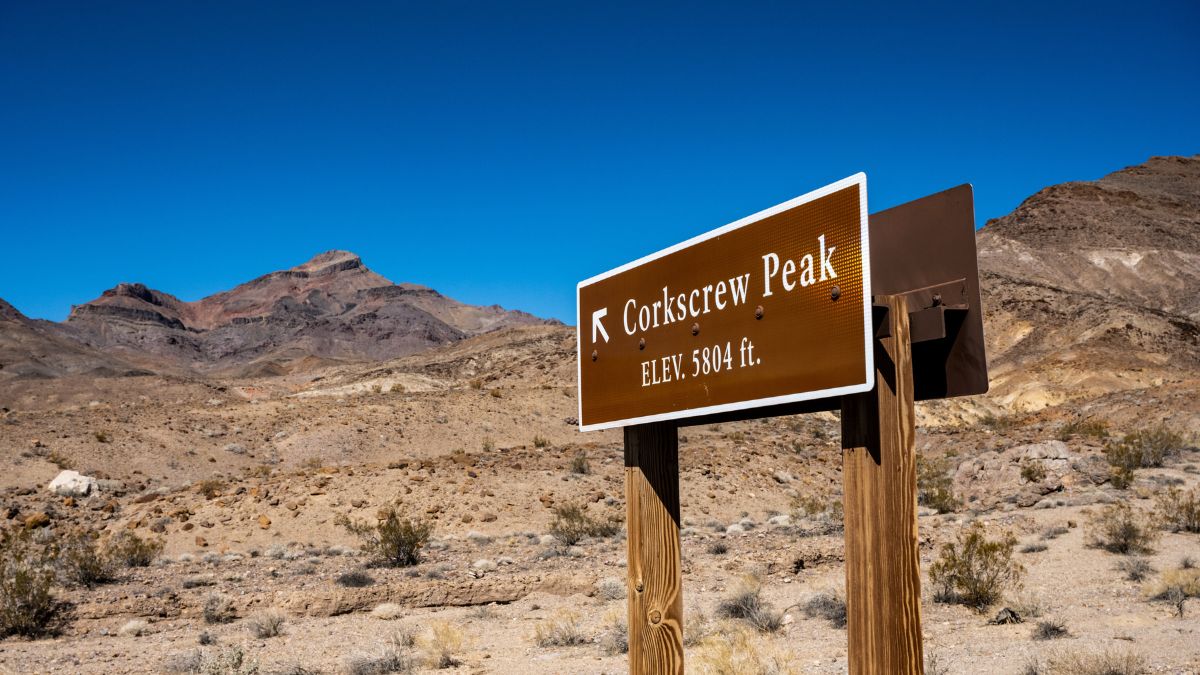
Image Credit: Kelly vanDellen/Shutterstock.
Corkscrew, like Thimble, is a prominent peak in the Grapevine Mountains, and there are excellent views of it from Daylight Pass Road, which connects Beatty with the Stovepipe Wells area of the park. It’s a desert classic, and the most commonly used route to it starts right off Daylight Pass Road.
Death Valley Buttes
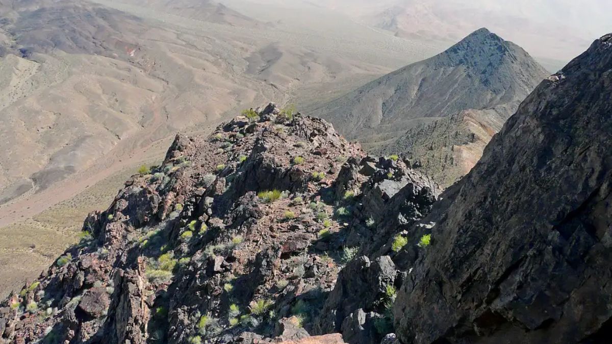
Image Credit: Robert Sihler.
These small peaks are literally right off Daylight Pass Road. There are steep, exposed sections, and you may have to do some occasional clambering, but neither peak presents technical challenges, and it’s pretty easy to knock both off in a couple hours or less, making them good objectives in hot weather.
Tin Mountain
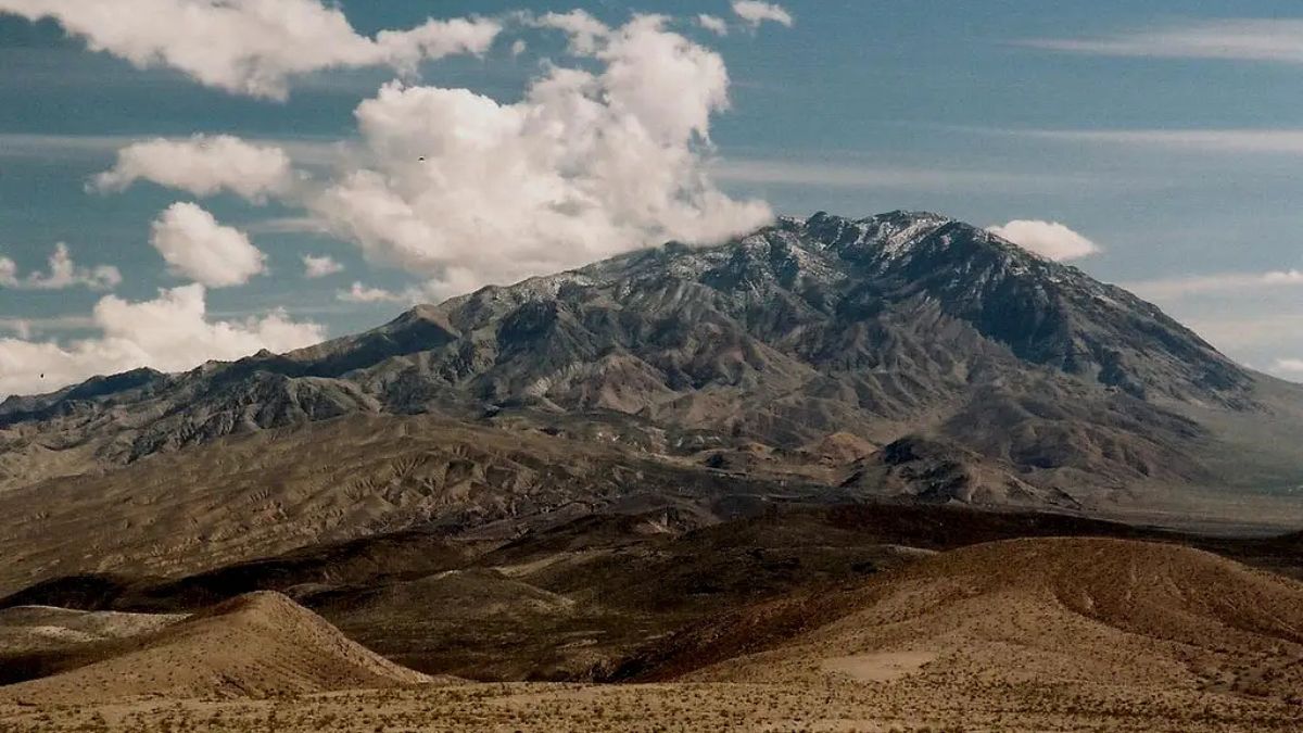
Image Credit: Robert Sihler.
The Panamint Range is the longest, highest range in Death Valley, and Tin Mountain is the highest peak in the northern Panamints. It’s very prominent from Scotty’s Castle Road to the east and from rugged Racetrack Road to the west. The western ridge as approached from Racetrack Road is the best way up; it’s not too long (3 miles) but is very steep.
Ubehebe Peak
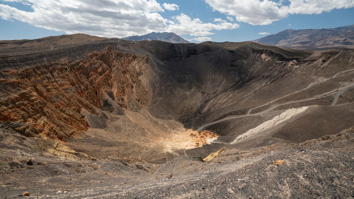
Image Credit: HannaTor/Shutterstock.
Ubehebe Peak is the interesting peak that looms over the western side of the Racetrack, a usually dry lakebed famous for its “moving” rocks. There’s no established route up Ubehebe, but I found two viable ones ascending and descending that weren’t too tough to figure out. The second, my descent, included several dry waterfalls, but they were all short and easy to downclimb or bypass.
The Grandstand
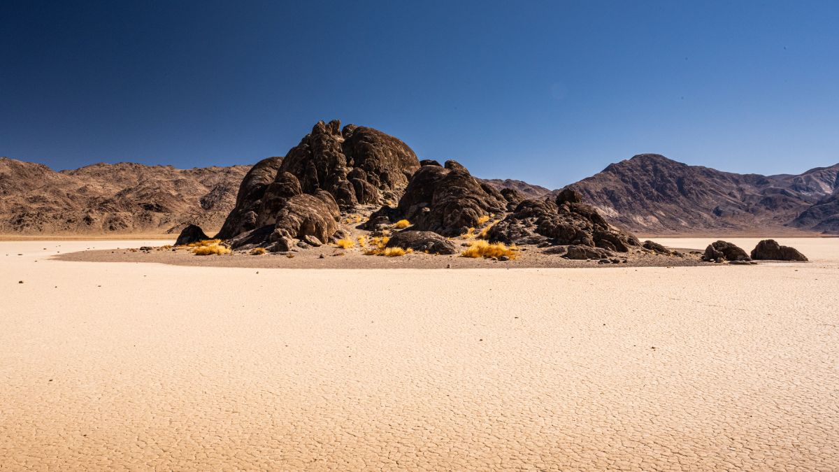
Image Credit: Kelly vanDellen/Shutterstock.
Really a rock outcropping and not a true peak, the Grandstand is the island of rock that sticks out from the otherwise flat and featureless sea of silt known as the Racetrack. It’s a popular hiking destination for those who make the trip out here, and the moves up its highest point are considered Class 5, which is technical rock climbing, thus making this the toughest summit on this list in terms of technical difficulty. The moves are at the low end of Class 5, though, so they’re not that bad.
Lake Hill
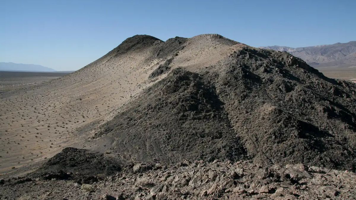
Image Credit: Robert Sihler.
The mostly easy dirt road into northern Panamint Valley passes through terrain that’s quite flat with the exception of Lake Hill. It’s really close to the road, and finding your way up it is easy and fun and doesn’t take long. Up on the peak, there’s a good chance you’ll see and then hear supersonic fighter jets, as the U.S. military uses long, flat Panamint Valley for training runs. I found an old summit register at the top, and the person who placed it indicated that the original name for Lake Hill was “The Chocolate Drops.”
Manly Beacon
Image Credit: Robert Harding Video/Shutterstock.
Another “sore thumb” rising prominently above its surroundings, Manly Beacon is the pointy peak you can’t help but see when you stop at Zabriskie Point. You can hike through badlands to it from either Zabriskie Point or Golden Canyon (from the west side of the area). The correct wash will take you to its base, and then it’s a short but steep hike up ridges to the small summit. Sections are steep, narrow, and exposed enough to intimidate a lot of people.
Red Cathedral
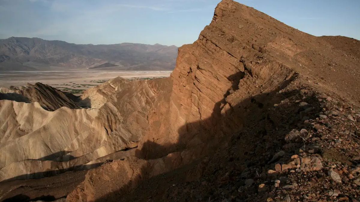
Image Credit: Robert Sihler.
From Zabriskie Point, Red Cathedral is the higher, red peak rising directly to the right of Manly Beacon. When you’re at the base of the actual climbing up Manly Beacon, Red Cathedral looks impossible to climb, and there are indeed no routes from there. However, a trail departs Zabriskie Point and leads along narrow ridges to the summit, where you get one of the most spectacular views in the park: looking directly down on Manly Beacon and then across badlands and the Death Valley salt pan to (often) snow-covered Telescope Peak, the highest point in the park.
Dante BM
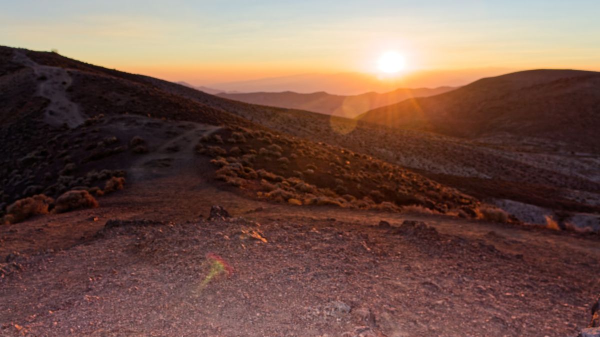
Image Credit: AndyGriffin/Shutterstock.
Dantes View is a popular destination for auto tours of the park. It’s more than a vertical mile above Badwater Basin directly below and has sweeping views of the salt pan and the Panamints. In fact, you may recognize the view as the location from which the heroes overlook Mos Eisley in the original Star Wars. Anyway, Dante BM (the BM is for benchmark) is a short, easy hike north from the viewpoint and a way to get away from crowds frequently found here.
Coffin Peak

Image Credit: Gestalt Imagery/Shutterstock.
On the way to Dantes View, you’ll pass Coffin Peak. From the road, it doesn’t look that exciting, but it’s actually a lot more interesting than it seems, and the routes up aren’t too long or difficult. The old summit register I found at the top, almost crumbling, dated back to 1968.
Wildrose Peak
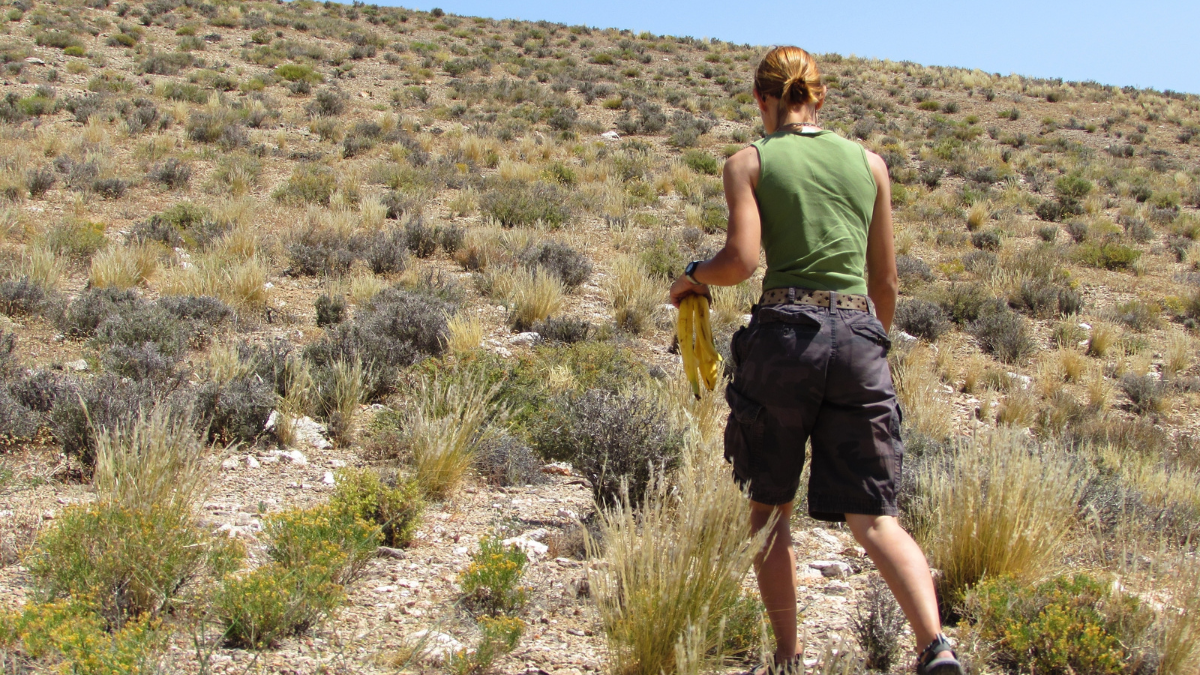
Image Credit: Angela Feltes/Shutterstock.
One of the highest peaks in the Panamints, Wildrose has a maintained trail to its summit. This moderately strenuous hike is shorter and has less elevation gain than required for Telescope Peak, and it’s a decent summer hike.
Telescope Peak
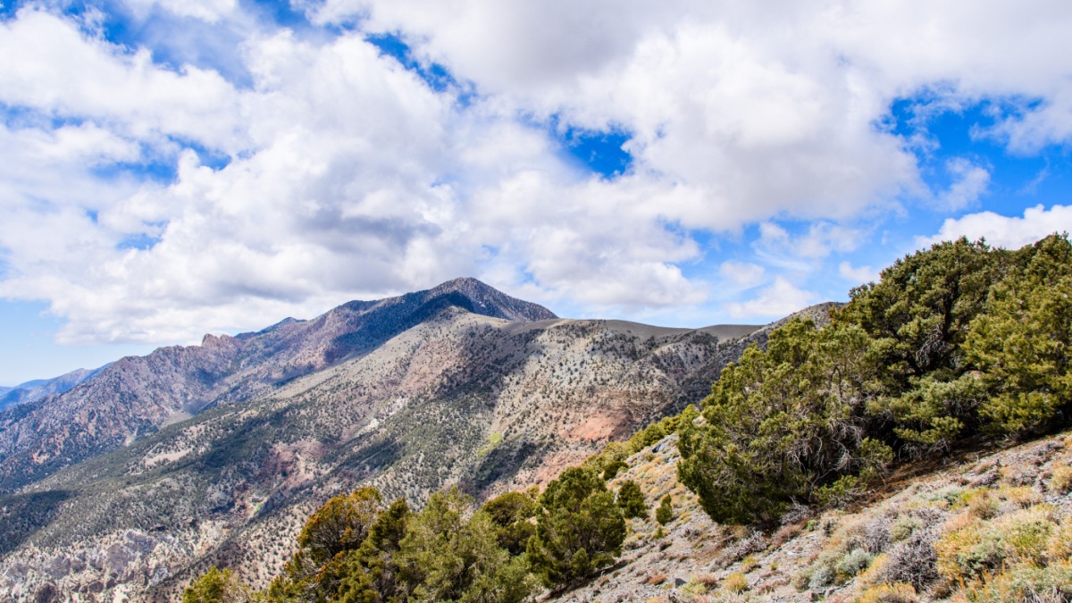
Image Credit: Sundry Photography/Shutterstock.
At 11,049’, Telescope Peak is the highest peak in the Panamints and in the park. The strenuous 7-mile hike to its summit (the final stretch is actually the only really strenuous section) is an absolute classic. The hike includes incredible views of Death Valley’s massive salt pan, views of the snowy peaks of the High Sierra, and a grove of ancient bristlecone pines near the summit. Since the temperature usually drops about 3 degrees for every 1,000’ of elevation gained, the summit of Telescope can be in the 80s or even the 70s or 60s when the salt flats are in blistering 3-digit temperatures.
Eagle Mountain
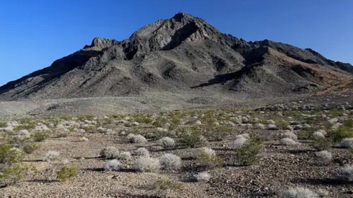
Image Credit: Robert Sihler.
Eagle Mountain is not actually in Death Valley National Park, but it’s less than a mile outside the park’s southeastern boundary and fair to include here. It’s also a desert classic with routes that require scrambling and, in some instances, some genuine climbing. The summit views from this isolated peak are fantastic.

Leave a Reply